Pleasant conditions will continue today but a cold front tomorrow will signal a shift to a stormier and cooler weather pattern through next week.
TODAY
Clear skies to scattered clouds will remain in place as high-pressure shifts off the coast. Winds will be from the southwest at 5 to 15 mph. Temperatures will rise into the upper 60s to lower 70s over the interior and along the coast and lower to mid-70s in the Delaware River Valley and urban areas.
TONIGHT
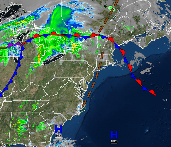
Clouds will increase as a cold front approaches from the west. Winds will be from the southwest at 5 to 15 mph. Temperatures will fall into the upper 40s to mid-50s over the interior and upper 50s to lower 60s along the coast for lows.
TOMORROW
A cold front will move through the region with scattered to broken clouds and isolated showers. Winds will veer to the west at 5 to 15 mph. Temperatures will rise into the upper 50s to lower 60s over the interior, mid to upper 60s along the coast, and upper 60s to lower 70s in the Delaware River Valley for highs.
SATURDAY
A wave of low pressure will develop over the coastal waters with scattered to broken cloud cover and isolated to widely scattered showers. Winds will be from the west at 5 to 15 mph. Temperatures will range from the mid to upper 40s over the interior and lower to mid-50s along the coast for lows and mid to upper 50s over the interior and lower to mid-60s along the coast for highs.
SUNDAY
High pressure will build south with scattered cloud cover expected. An isolated shower will remain a threat, especially for the Philadelphia metropolitan area and southern New Jersey. Temperatures will range from the upper 30s to lower 40s over the interior and mid to upper 40s along the coast for lows and mid to upper 50s over the interior and lower to mid-60s along the coast for highs.
MONDAY THROUGH THURSDAY
High pressure over northern New England and a stationary front over the southern Mid Atlantic will support scattered to broken cloud cover and isolated to scattered showers throughout the forecast period. Temperatures on Monday will range from the upper 30s to lower 40s over the interior and mid-40s to lower 50s along the coast for lows and lower to mid-50s over the interior and mid to upper 50s along the coast for highs. Temperatures on Tuesday and
Wednesday will range from the mid to upper 40s over the interior and lower to mid-50s along the coast for lows and lower to mid-50s over the interior and upper 50s to lower 60s along the coast for highs. Temperatures on Thursday will range from the upper 40s to lower 50s over the interior and lower to mid-50s along the coast for lows and lower to mid-60s for highs.