One storm exits today but another is on the way for next week with the threat of rain, sleet, and snow. A volatile temperature will continue through next week.
TODAY
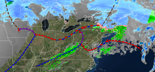
An area of low pressure and a cold front will produce scattered showers.
Winds will back to the northeast at 5 to 15 mph. Temperatures will rise into the mid-40s to lower 50s in Connecticut and Long Island, lower to mid-50s in the New York City metro through the Poconos, upper 50s to mid-60s in the northern suburbs of Philadelphia through central New Jersey, and upper 60s to mid-70s in southeastern Pennsylvania and southern New Jersey for highs.
TONIGHT
Skies will slowly clear as high pressure builds into the region. Winds will back to the northwest at 5 to 15 mph. Temperatures will fall into the lower to mid-30s over the interior and upper 30s to mid-40s along the coast for lows.
TOMORROW
High pressure will produce clear skies to scattered clouds. Winds will be from the
northwest at 10 to 20 mph. Temperatures will rise into the mid-30s to lower 40s over the interior and mid to upper 40s along the coast for highs.
TOMORROW NIGHT
High pressure will produce scattered clouds. Winds will be from the northwest at 5 to 10 mph. Temperatures will fall into the mid to upper 10s over the interior and lower to mid-20s along the
coast for lows.
SATURDAY
An area of low pressure will produce scattered snow showers in the afternoon and evening. Snow accumulation is expected to be a dusting to an isolated inch on cold surfaces. Winds will be from the southeast at 5 to 15 mph. Temperatures will rise into the upper 20s to lower 30s over the interior and mid to upper 30s
along the coast for highs.
SUNDAY
High pressure will build into the region with scattered clouds. Winds will be from the southwest at 5 to 15 mph. Temperatures will range from the lower to mid-20s over the interior and mid to upper 20s along the coast for lows and lower to mid-40s over the interior, lower to mid-40s along the coast, and mid to upper 40s in
the Delaware River Valley for highs.
MONDAY
An area of low pressure will approach with increasing clouds throughout the day. Periods of rain will develop in southeastern Pennsylvania and southern New Jersey while a wintry mix of snow, sleet, and rain can be expected for northeastern Pennsylvania, central and northern New Jersey, southeastern New York, and
Connecticut. Temperatures will range from the mid to upper 20s over the interior and upper 20s to lower 30s along the coast for lows and lower to mid-40s over the interior, lower to mid-40s along the coast, and mid to upper 40s in the Delaware River Valley for highs.
TUESDAY
An area of low pressure will redevelop around the coastal waters with a wintry mix of snow,
sleet, and rain with some significant snow accumulation possible for the interior. Temperatures will range from the mid to upper 20s over the interior and lower to mid-30s along the coast for lows and mid to upper 30s over the interior and upper 30s to mid-40s along the coast for highs.
WEDNESDAY
The area of low pressure will exit the region with lingering rain and
snow showers. Temperatures will range from the mid-20s to lower 30s for lows and upper 20s to lower 30s over the interior and mid-30s to lower 40s along the coast for highs.
THURSDAY
A trough will produce scattered snow showers. Temperatures will range from the lower to mid-10s over the interior and upper 10s to the mid-20s along the coast for lows and mid to
upper 30s over the interior and upper 30s to lower 40s along the coast for highs.