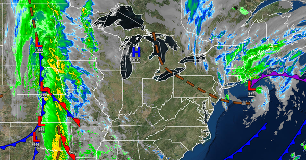
A powerful coastal storm will exit this morning with improving conditions, but another rainstorm is on the way by Friday.
TODAY
The coastal low-pressure system will exit this morning with lingering showers followed by clearing skies through this afternoon. Winds will back to the north at 10 to 20 mph with gusts over 30 mph at times. Temperatures will rise into the upper 50s to lower 60s over the interior and the New York City metropolitan area and mid to upper 60s in the Philadelphia metropolitan area and southern New Jersey.
TONIGHT
High pressure will build into the region with scattered clouds to clear skies. Winds will be from the west at 5 to 15 mph. Temperatures will fall into the upper 30s to mid-40s over the interior and upper 40s to lower 50s along the coast for lows.
TOMORROW
High pressure will shift to the north of the region towards the Gulf of Maine with scattered cloud cover expected. Winds will be from the northeast at 5 to 15 mph. Temperatures will rise into the upper 50s to lower 60s for highs.
FRIDAY
A warm front will approach the region with increasing clouds and scattered showers developing in the late morning and afternoon hours. Winds will be from the east at 10 to 20 mph with gusts over 25 mph. Temperatures will range from the mid to upper 40s over the interior and upper 40s to lower 50s along the coast for lows and lower to mid-50s over the interior and mid-50s to lower 60s along the coast for highs.
FRIDAY NIGHT INTO SATURDAY MORNING
A warm front will lift through the region with periods of rain, heavy at times, with windy conditions. Temperatures will fall into the mid to upper 40s over the interior and lower to mid-50s along the coast for lows.
SATURDAY
An area of low pressure and cold front will lift through the region with scattered showers throughout the day. Temperatures will rise into the upper 50s to lower 60s over the interior and mid to upper 60s along the coast for highs.
HALLOWEEN SUNDAY
Scattered clouds with an isolated shower are possible along with breezy conditions. Temperatures will range from the mid-40s to lower 50s for lows and lower to mid-50s over the interior and upper 50s to lower 60s along the coast for highs.
MONDAY
High pressure will produce clear skies to scattered clouds. Temperatures will range from the upper 30s to lower 40s over the interior and mid-40s to lower 50s along the coast for lows and upper 50s to lower 60s over the interior and lower to mid-60s along the coast for highs.
TUESDAY AND WEDNESDAY
A series of cold fronts will produce scattered clouds with isolated showers. Temperatures on Tuesday will range from the mid-40s to lower 50s for lows and mid to upper 50s over the interior and lower to mid-60s along the coast for highs. Temperatures on Wednesday will range from the upper 30s to lower 40s over the interior and mid-40s to lower 50s along the coast for lows and lower to mid-50s over the interior and upper 50s to lower 60s along the coast
for highs.