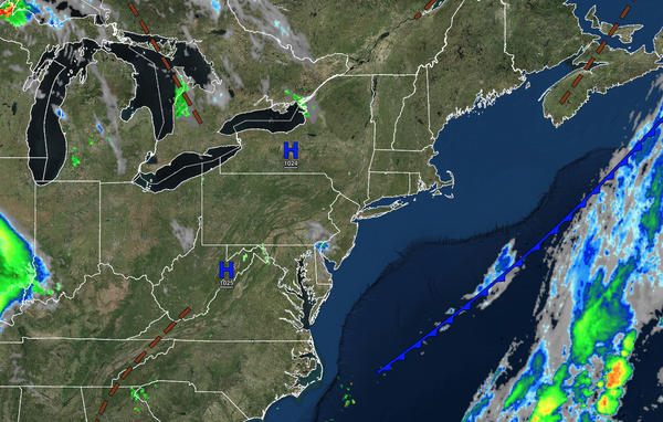
High pressure will begin to exit over the next 24 hours but still will provide pleasant weather conditions.
A stormy end to the week is expected with a strong cold front.
TODAY
A trough will produce scattered clouds and isolated showers. Winds will be from the northeast at 5 to 15 mph. Temperatures will rise into the upper 70s to lower 80s over the interior and along the coast and lower to mid-80s in the Delaware River Valley for
highs.
TONIGHT
A weak trough will produce scattered clouds. Winds will be from the southeast at 5 to 15 mph. Temperatures will fall into the upper 50s to lower 60s over the interior and lower to mid-60s along the coast for lows.
TOMORROW
A trough will produce scattered clouds and isolated showers. Winds will be from the south at 5 to 15 mph. Temperatures will rise into the upper 70s to lower 80s over the interior and along the coast and lower to mid-80s in the Delaware River Valley for highs.
TOMORROW NIGHT
A cold front will approach the region with broken clouds and scattered showers and thunderstorms. Winds will be from the south at 5 to 15 mph. Temperatures will fall into the lower to mid-60s over the interior and mid to upper-60s along the coast for lows.
FRIDAY
A cold front will move through the region with scattered showers and thunderstorms. Winds will be from the south at 5 to 15 mph. Temperatures will rise into the mid to upper 70s over the interior, upper 70s to lower 80s in the Delaware River Valleys, and mid to upper
70s along the coast for highs.
SATURDAY
High pressure will produce clear skies to scattered clouds. Winds will veer to the northwest at 5 to 15 mph. Temperatures will range from the upper 50s to lower 60s over the interior and lower to mid-60s along the coast for lows and upper 70s to lower 80s over the
interior and along the coast and lower to mid-80s in the Delaware River Valley for highs.
SUNDAY
High pressure will produce clear skies to scattered clouds. Temperatures will range from the lower to mid-60s over the interior and mid to upper 60s along the coast for lows and lower to mid-80s along the coast and mid to upper 80s away from the coast for highs.
MONDAY
A cold front will produce scattered showers and thunderstorms. Temperatures will range from the lower to mid-70s for lows and upper 80s to lower 90s over the interior, lower to mid-90s in the Delaware River Valley, and mid to upper 80s along the coast for highs.
TUESDAY
High pressure will produce scattered cloud cover. Temperatures will range from the mid to upper 60s over the interior and lower to mid-70s along the coast for lows and lower to mid-80s over the interior, mid to upper 80s along the coast, and upper 80s to lower 90s in the
Delaware River Valley for highs.
WEDNESDAY
High pressure will produce scattered clouds. Temperatures will range from the lower to mid-60s over the interior and mid to upper 60s along the coast for lows and lower to mid-80s over the interior, mid to upper 80s along the coast, and upper 80s to lower 90s in the
Delaware River Valley for highs.