A tranquil weather pattern will take hold while Lee passes well to the east. A pleasant Fall weather pattern is locking in!
TODAY
High pressure will build into the region with clear skies to scattered clouds. Winds will be from the northwest at 5 to 15 mph.
Temperatures will rise into the upper 60s to lower 70s over the interior and lower to mid-70s along the coast for highs.
TONIGHT
High pressure will produce clear skies to scattered clouds. Winds will be from the north at 5 to 15 mph over the interior and 10 to 20 mph along the coast with higher gusts. Temperatures will fall into the upper 40s to lower
50s over the interior and mid to upper 50s along the coast for lows.
TOMORROW
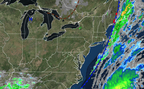
High pressure will produce clear skies to scattered clouds for much of the region. Lee will pass well to the east with variable clouds and isolated showers in Connecticut and Long Island. The showers will be capable of heavy downpours. Winds will be from the north at 5 to 15
mph over the interior and 10 to 20 mph along the coast with higher gusts. Temperatures will rise into the upper 60s to lower 70s over the interior and lower to mid-70s along the coast for highs.
TOMORROW NIGHT
High pressure will produce clear skies to scattered clouds for much of the region. Lee will pass well to the east with variable clouds and isolated
showers in Connecticut and Long Island. The showers will be capable of heavy downpours. Winds will be from the northwest at 10 to 20 mph with higher gusts. Temperatures will fall into the upper 40s to mid-50s over the interior and upper 50s to lower 60s along the coast for lows.
SATURDAY
High pressure will produce clear skies to scattered clouds for
much of the region. Lee will pass well to the east with variable clouds and isolated showers in Connecticut and Long Island. The showers will be capable of heavy downpours. Winds will be from the northwest at 10 to 20 mph with higher gusts. Temperatures will rise into the upper 60s to lower 70s over the interior and lower to mid-70s along the coast for highs.
SUNDAY
High pressure will produce clear skies to scattered clouds. Winds will be from the northwest at 5 to 15 mph. Temperatures will range from the upper 40s to lower 50s over the interior and mid to upper 50s along the coast for lows and lower to mid-70s over the interior and mid to upper 70s along the coast for highs.
MONDAY
A weak trough
will pass through the region with scattered clouds and isolated showers. Temperatures will range from the lower to mid-50s over the interior and upper 50s to lower 60s along the coast for lows and upper 60s to lower 70s over the interior and mid to upper 70s along the coast for highs.
TUESDAY
High pressure will produce clear skies to scattered clouds.
Temperatures will range from the upper 40s to lower 50s over the interior and mid to upper 50s along the coast for lows and lower to mid-70s over the interior and along the coast and upper 70s to lower 80s in the Delaware River Valley for highs.
WEDNESDAY
High pressure will produce clear skies to scattered clouds. Temperatures will range from the upper 40s to
lower 50s over the interior and mid to upper 50s along the coast for lows and lower to mid-70s over the interior and along the coast and mid to upper 70s in the Delaware River Valley for highs.
THURSDAY
High pressure will produce clear skies to scattered clouds. Temperatures will range from the lower to mid-50s over the interior and upper 50s to lower 60s along the
coast for lows and mid to upper 70s over the interior and along the coast and upper 70s to lower 80s in the Delaware River Valley for highs.