A cold front will produce a few rain/snow showers and colder conditions today, setting the stage for a winter storm this weekend.
TODAY
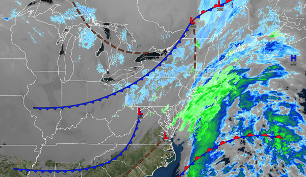
An area of low pressure and a cold front will produce scattered clouds with rain/snow
showers. Winds will be from the northwest at 5 to 15 mph. Temperatures will rise into the mid to upper 30s over the interior and lower to mid-40s along the coast for highs.
TONIGHT
High pressure will be in control with scattered clouds. Winds will be from the west at 5 to 15 mph. Temperatures will fall into the upper
10s to mid-20s for lows.
TOMORROW
High pressure will be in control with scattered clouds. Winds will be from the west at 5 to 15 mph. Temperatures will rise into the lower to mid-30s over the interior and mid to upper 30s along the coast for highs.
TOMORROW NIGHT
High pressure will be in control with scattered clouds. Winds will be from the northwest at 5 to 15 mph. Temperatures will fall into the lower to mid-20s for lows.
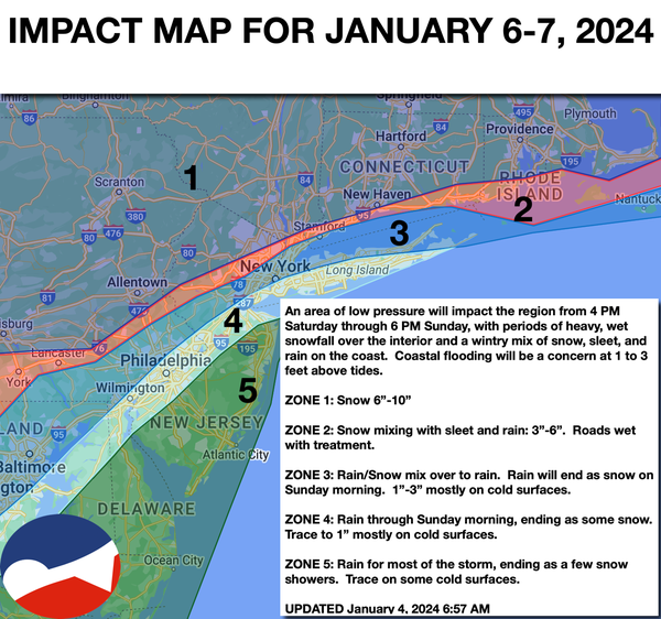
SATURDAY
An area of low
pressure will approach the region, with increasing clouds and snow developing in the late afternoon and evening. Winds will veer to the east at 5 to 15 mph. Temperatures will rise into the mid to upper 30s over the interior and upper 30s to lower 40s along the coast for highs.
SUNDAY
An area of low pressure will produce periods
of moderate to heavy snowfall northwest of the I-95 corridor and a wintry mix of snow, sleet, and rain along and east of the I-95 corridor, with windy conditions. Significant snow accumulation will be a threat, creating poor travel conditions. Temperatures will range from the lower to mid-30s over the interior and mid-30s to lower 40s along the coast.