Damp and cloudy conditions this weekend will give way to showers and thunderstorms on Monday morning. A turn to colder weather is expected by the new year.
TODAY
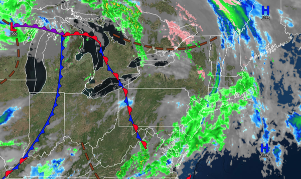
A warm front will approach with scattered showers.
Winds will be from the southeast at around 5 mph. Temperatures will rise into the lower to mid-40s over the interior and upper 40s to lower 50s along the coast for highs.
TONIGHT
Waves of showers will continue. Winds will be from the southeast at 5 to 15 mph. Temperatures will fall into the lower to mid-40s over the
interior and upper 40s to lower 50s along the coast for lows.
TOMORROW
A cold front will approach the region with isolated showers through the afternoon, followed by waves of rainfall in the evening. Winds will be from the southeast at 5 to 15 mph. Temperatures will rise into the lower to mid-50s over the interior and upper 50s
to lower 60s along the coast for highs.
TOMORROW NIGHT
An area of low pressure and a cold front will move through the region with showers and thunderstorms. Winds will veer from the southeast to the southwest at 10 to 20 mph. Temperatures will fall into the lower to mid-40s over the interior and upper 40s to lower 50s along the
coast for lows.
MONDAY
An area of low pressure and a cold front will exit the region with periods of rain in the morning, followed by clearing skies. Winds will veer to the southwest at 10 to 20 mph. Temperatures will rise into the mid to upper 40s over the interior and lower to mid-50s along the coast for
highs.
TUESDAY, NEW YEAR'S EVE
Scattered clouds are expected. Winds will be from the southeast at 5 to 10 mph. Temperatures will range from the upper 20s to lower 30s over the interior and lower to mid-30s along the coast for lows and mid to upper 40s over the
interior and upper 40s to lower 50s along the coast for highs.
WEDNESDAY, NEW YEAR'S DAY
An area of low pressure will produce periods of rain. Temperatures will range from the mid to upper 30s over the interior, lower to mid-40s in the suburbs, and mid to upper 40s in
urban areas for lows and upper 30s to mid-40s over the interior and upper 40s to lower 50s along the coast for highs.
THURSDAY
High pressure will produce scattered clouds with flurries. Temperatures will range from the upper 20s to lower 30s over the interior and lower to mid-30s along the coast for lows and lower to mid-30s over the
interior and upper 30s to lower 40s along the coast for highs.
FRIDAY
A series of troughs will produce scattered clouds and a few flurries. Temperatures will range from the lower to mid-20s for lows and upper 20s to lower 30s over the interior and lower to mid-30s along the coast for highs.
SATURDAY
A series of troughs will produce scattered clouds and a few flurries. Temperatures will range from the mid to upper 10s over the interior and lower to mid-20s along the coast for lows and mid to upper 20s over the interior and upper 20s to lower 30s along the coast for highs.