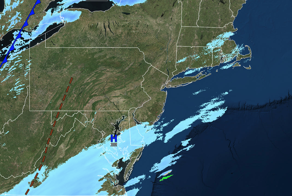
Snow showers and flurries attempt to push north this evening as a storm passes to the south. Arctic air continues to produce dangerously cold conditions throughout the week.
TONIGHT
A series of troughs will produce
scattered clouds and flurries. A period of light snow and snow showers will be a threat to southeastern coastal New Jersey, with some accumulating snow possibly occurring. Winds will be from the northwest at 5 to 10 mph. Low temperatures will range from the -10s to -0 over the interior and 0s along the coast.
TOMORROW
A
series of troughs will produce scattered clouds and flurries. Winds will be from the northwest at 5 to 10 mph. High temperatures will range from the single digits over the interior and lower to mid-10s along the coast.
TOMORROW NIGHT
A series of troughs will produce scattered clouds and flurries. Winds will be from the
southwest at 5 to 10 mph. Low temperatures will range from the -10s to -0 over the interior and 0s along the coast.
THURSDAY
A series of troughs will produce scattered clouds and flurries. Winds will be from the southwest at 5 to 10 mph. High temperatures will range from the lower to mid-20s over the interior and mid to
upper 20s along the coast.
FRIDAY
High pressure will produce scattered clouds. Low temperatures will range from the single digits over the interior and lower to mid-10s along the coast. High temperatures will range from the mid to upper 20s over the interior and upper 20s to lower 30s along the
coast.
SATURDAY
High pressure will produce scattered clouds. Low temperatures will range from the lower to mid-10s. High temperatures will range from the lower to mid-30s over the interior and mid to upper 30s along the coast.
SUNDAY
High pressure will produce scattered clouds. Low temperatures will range from the upper 10s to lower 20s over the interior and mid to upper 20s along the coast. High temperatures will range from the lower to mid-30s over the interior and mid to upper 30s along the coast.
MONDAY
An area of low pressure will produce a wintry mix of snow and ice showers. Low temperatures will range from the 0s to lower 10s over the interior and mid to upper 10s along the coast. High temperatures will range from the lower to mid-20s over the interior, mid to upper 20s in the suburbs, and upper 20s to lower 30s in urban
areas.
TUESDAY
High pressure will produce scattered clouds. Low temperatures will range from the mid to upper 10s over the interior and lower to mid-20s along the coast. High temperatures will range from the lower to mid-30s over the interior and mid to upper 30s along the coast.