Tranquil and comfortable conditions will give way to the first heatwave of 2025 by the weekend through next week.
TODAY
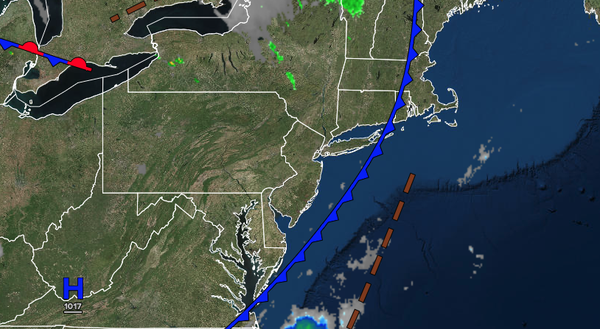
High pressure will produce scattered clouds. Winds will be from the west at 5 to 10 mph. High
temperatures will range from the mid to upper 70s over the interior and lower to mid-80s along the coast.
TONIGHT
High pressure will produce scattered clouds. Winds will be from the southwest at 5 to 10 mph. Low temperatures will range from the lower to mid-60s over the interior and mid to upper 60s along the
coast.
TOMORROW
High pressure will produce scattered clouds. An isolated thunderstorm will be a threat. Winds will be from the southwest at 5 to 10 mph. High temperatures will range from the lower to mid-80s over the interior, lower to mid-80s along the coast, and upper 80s to lower 90s on the I-95
corridor.
TOMORROW NIGHT
High pressure will produce scattered clouds. Winds will be from the southwest at 5 to 15 mph. Low temperatures will range from the upper 60s to lower 70s over the interior, upper 60s to lower 70s in the suburbs, and lower to mid-70s in urban areas.
SUNDAY
High pressure will produce scattered clouds. An isolated thunderstorm will be a threat along the coast. Winds will be from the southwest at 5 to 15 mph. High temperatures will range from the upper 80s to lower 90s over the interior, upper 80s to lower 90s along the coast, and mid to upper 90s on the I-95 corridor. A heat index in the upper
90s to lower 100s is expected.
MONDAY
High pressure will produce scattered clouds. An isolated thunderstorm will be a threat along the coast. Winds will be from the southwest at 5 to 15 mph. Low temperatures will range from the lower to mid-70s over the interior, mid to upper 70s in the suburbs, and upper 70s to lower 80s
in urban areas. High temperatures will range from the upper 80s to lower 90s over the interior, upper 80s to lower 90s along the coast, and mid to upper 90s on the I-95 corridor. A heat index in the 100s is expected.
TUESDAY
High pressure will produce scattered clouds. An isolated thunderstorm will be a threat along the
coast. Low temperatures will range from the lower to mid-70s over the interior, mid to upper 70s in the suburbs, and upper 70s to lower 80s in urban areas. High temperatures will range from the upper 80s to lower 90s over the interior, upper 80s to lower 90s along the coast, and mid to upper 90s on the I-95 corridor. A heat index in the 100s is expected.
WEDNESDAY
High pressure will produce scattered clouds. An isolated thunderstorm will be a threat along the coast. Low temperatures will range from the lower to mid-70s over the interior, mid to upper 70s in the suburbs, and upper 70s to lower 80s in urban areas. High temperatures will range from the upper 80s to lower 90s over the interior, upper 80s to
lower 90s along the coast, and mid to upper 90s on the I-95 corridor. A heat index in the 100s is expected.
THURSDAY
A cold front will move through the region with showers and thunderstorms in the late afternoon and evening. Low temperatures will range from the upper 60s to lower 70s over the interior, upper 60s to lower 70s in
the suburbs, and lower to mid-70s in urban areas. High temperatures will range from the upper 80s to the lower 90s over the interior, lower to mid-90s along the coast, and mid to upper 90s on the I-95 corridor. A heat index in the 100s is expected.
FRIDAY
High pressure will build from New England with scattered to broken cloud
cover. Low temperatures will range from the lower to mid-60s over the interior, mid to upper 60s in the suburbs, and upper 60s to lower 70s in urban areas. High temperatures will range from the mid to upper 70s over the interior and upper 70s to lower 80s along the coast.