A tropical weather pattern will take hold with hazy, hot, and humid conditions and isolated thunderstorms. Isolated thunderstorms through next week will be capable of torrential downpours, frequent lightning, and powerful wind gusts. Localized flash flooding and wind damage will be a threat.
TODAY
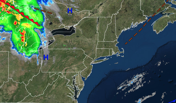
High pressure will produce scattered clouds. An isolated thunderstorm will be a threat. Winds will be from the southwest at 5 to 10 mph. High temperatures will range from the lower to mid-80s over the interior, lower to mid-80s along the coast, and upper 80s to lower 90s on the I-95 corridor.
TONIGHT
A trough will produce scattered clouds and isolated thunderstorms. Winds will be from the southwest at 5 to 15 mph. Low temperatures will range from the upper 60s to lower 70s over the interior, upper 60s to lower 70s in the suburbs, and lower to mid-70s in urban areas.
TOMORROW
High pressure will produce scattered clouds. An isolated thunderstorm will be a threat along the coast. Winds will be from the southwest at 5 to 15 mph. High temperatures will range from the upper 80s to lower 90s over the interior, upper 80s to lower 90s along the coast, and mid to upper 90s on the I-95 corridor. A heat index in the upper
90s to lower 100s is expected.
TOMORROW NIGHT
High pressure will produce scattered clouds. An isolated thunderstorm will be a threat along the coast. Winds will be from the southwest at 5 to 15 mph. Low temperatures will range from the lower to mid-70s over the interior, mid to upper 70s in the suburbs, and upper 70s to
lower 80s in urban areas.
MONDAY
High pressure will produce scattered clouds. An isolated thunderstorm will be a threat along the coast. Winds will be from the southwest at 5 to 15 mph. High temperatures will range from the upper 80s to lower 90s over the interior, upper 80s to lower 90s along the coast, and mid to upper
90s on the I-95 corridor. A heat index in the 100s is expected.
TUESDAY
High pressure will produce scattered clouds. An isolated thunderstorm will be a threat along the coast. Winds will be from the west-northwest at 5 to 10 mph. Low temperatures will range from the lower to mid-70s over the interior, mid to upper 70s
in the suburbs, and upper 70s to lower 80s in urban areas. High temperatures will range from the upper 80s to lower 90s over the interior, upper 80s to lower 90s along the coast, and mid to upper 90s on the I-95 corridor. A heat index in the 100s is expected.
WEDNESDAY
High pressure will produce scattered clouds. An
isolated thunderstorm will be a threat along the coast. Low temperatures will range from the lower to mid-70s over the interior, mid to upper 70s in the suburbs, and upper 70s to lower 80s in urban areas. High temperatures will range from the upper 80s to lower 90s over the interior, upper 80s to lower 90s along the coast, and mid to upper 90s on the I-95 corridor. A heat index in the 100s is expected.
THURSDAY
A cold front will move through the region with showers and thunderstorms in the late afternoon and evening. Low temperatures will range from the upper 60s to lower 70s over the interior, upper 60s to lower 70s in the suburbs, and lower to mid-70s in urban areas. High temperatures will range from the upper 80s to the lower 90s over the interior, lower
to mid-90s along the coast, and mid to upper 90s on the I-95 corridor. A heat index in the 100s is expected.
FRIDAY
High pressure will build from New England with scattered to broken cloud cover. Low temperatures will range from the lower to mid-60s over the interior, mid to upper 60s in the suburbs, and upper 60s to lower 70s in
urban areas. High temperatures will range from the mid to upper 70s over the interior and upper 70s to lower 80s along the coast.
SATURDAY
A stationary front will produce scattered clouds and isolated thunderstorms. Low temperatures will range from the lower to mid-70s over the interior and suburbs and mid to upper 70s in urban
areas. High temperatures will range from the upper 80s to lower 90s over the interior, upper 80s to lower 90s on Long Island, lower to mid-90s on the coast, and mid to upper 90s on the I-95 corridor. A heat index in the 100s is expected.