Tranquil conditions through tomorrow afternoon will give way to showers and thunderstorms by tomorrow night through Tuesday. Excellent weather conditions are currently expected for the Independence Day weekend!
TODAY
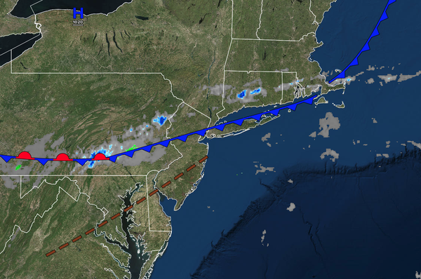
A
cold front will clear the coast in the morning with isolated showers. Scattered clouds are expected in the afternoon. Winds will veer to the west at 5 to 10 mph. High temperatures will range from the lower to mid-80s over the interior, lower to mid-80s along the coast, and mid to upper 80s on the I-95 corridor.
TONIGHT
A
trough will produce scattered clouds. Winds will be from the southwest at 5 to 10 mph. Low temperatures will range from the mid to upper 60s.
TOMORROW
A trough will produce scattered clouds. Isolated showers will be a threat by the evening. Winds will be from the southwest at 5 to 10 mph. High temperatures will
range from the mid to upper 80s along the coast, mid to upper 80s over the interior, and upper 80s to lower 90s on the I-95 corridor.
TOMORROW NIGHT
A cold front will approach the region with scattered showers. Winds will be from the southwest at 5 to 10 mph. Low temperatures will range from the upper 60s to the lower 70s over
the interior and lower to mid-70s along the coast.
TUESDAY
A cold front will move through the region with scattered showers and thunderstorms. The thunderstorms will be capable of heavy downpours, frequent lightning, hail, and wind gusts over 45 mph. Winds will be from the southwest at 5 to 10 mph. High temperatures will
range from the upper 70s to the lower 80s over the interior and mid to upper 80s along the coast.
WEDNESDAY
High pressure will produce scattered clouds. Winds will be from the northwest at 5 to 10 mph. Low temperatures will range from the mid to upper 60s over the interior and lower to mid-70s along the coast. High
temperatures will range from the lower to mid-80s.
THURSDAY
High pressure will produce scattered clouds. Low temperatures will range from the lower to mid-60s over the interior and mid to upper 60s along the coast. High temperatures will range from the lower to mid-80s over the interior and mid to upper 80s along the
coast.
INDEPENDENCE DAY FRIDAY
A trough will pass through the region
with scattered clouds and isolated showers. Low temperatures will range from the mid to upper 60s over the interior and upper 60s to lower 70s along the coast. High temperatures will range from the upper 70s to the lower 80s over the interior and mid to upper 80s along the coast.
SATURDAY
High pressure will produce scattered
clouds. Low temperatures will range from the mid to upper 50s over the interior and lower to mid-60s along the coast. High temperatures will range from the mid to upper 70s over the interior, upper 70s to lower 80s along the coast, and lower to mid-80s on the I-95 corridor.
SUNDAY
High pressure will produce scattered
clouds. Low temperatures will range from the mid to upper 60s. High temperatures will range from the lower to mid-80s along the coast, mid to upper 80s over the interior, and upper 80s to lower 90s on the I-95 corridor.