Tranquil conditions will continue through tomorrow with increasing humidity. Showers and thunderstorms are set to return by Friday evening and linger through the weekend.
TODAY
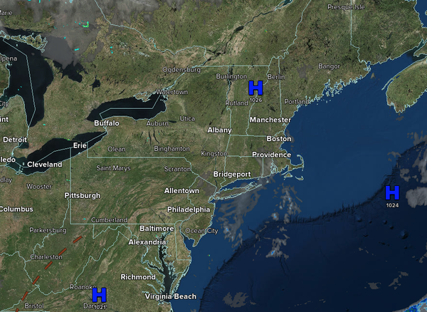
High pressure will produce scattered
clouds. Winds will be from the southeast at 1 to 5 mph. High temperatures will range from the lower to mid-80s over the interior, upper 80s to lower 90s on the I-95 corridor, and lower to mid-80s along the coast.
TONIGHT
High pressure will produce scattered clouds. Winds will be from the southwest at 5 to 10 mph. Low
temperatures will range from the mid- to upper 60s over the interior to the upper 60s to lower 70s along the coast.
TOMORROW
High pressure will produce scattered clouds. Winds will be from the southwest at 5 to 10 mph. High temperatures will range from the mid- to upper 80s over the interior, from the upper 80s to the lower 90s
along the I-95 corridor, and from the mid- to upper 80s along the coast. A heat index in the mid-to-upper 90s is expected.
TOMORROW NIGHT
High pressure will produce scattered clouds. Winds will be from the southwest at 5 to 10 mph. Low temperatures will range from the upper 60s to the lower 70s over the interior and the
lower to mid-70s along the coast.
FRIDAY
A trough will approach the region with scattered clouds and isolated thunderstorms in the afternoon. A cold front will press southward with showers and thunderstorms in the evening. The thunderstorms will be capable of heavy downpours, frequent lightning, hail, and wind gusts over 40
mph. Winds will be from the southwest at 5 to 10 mph. High temperatures will range from the lower to mid-90s over the interior, mid to upper 90s on the I-95 corridor, upper 80s to lower 90s along the coast, and mid to upper 80s on Long Island. A heat index will range from the upper 90s to the lower 100s.
SATURDAY
A cold
front will slowly move through the region with scattered showers and thunderstorms. Winds will veer to the northeast at 1 to 5 mph. Low temperatures will range from the lower to mid-70s over the interior and mid to upper 70s along the coast. High temperatures will range from the lower to mid-80s over the interior, upper 80s to lower 90s along the I-95 corridor, and mid-to-upper 80s along the coast.
SUNDAY
The cold front will stall over the region with scattered showers. Low temperatures will range from the upper 60s to the lower 70s along the coast and the lower to mid-70s elsewhere. High temperatures will range from the mid to upper 70s in Connecticut and Long Island, lower to mid-80s in the New York City metropolitan area, and mid to upper 80s in the
Philadelphia metropolitan area and southern New Jersey.
MONDAY
A stationary front to the south of the region with scattered clouds and widely scattered showers. Low temperatures will range from the mid to upper 60s. High temperatures will range from the mid to upper 80s.
TUESDAY
A trough will produce scattered clouds and isolated showers. Low temperatures will range from the lower to mid-70s. High temperatures will range from the mid- to upper 80s over the interior, the upper 80s to lower 90s along the I-95 corridor, and the mid- to upper 80s along the coast.
WEDNESDAY
A cold front will produce scattered showers and thunderstorms. Low temperatures will range from the mid- to upper 60s over the interior to the lower to mid-70s along the coast. High temperatures will range from the upper 70s to lower 80s over the interior, mid to upper 80s on the I-95 corridor, and lower to mid-80s along the
coast.