Tranquil conditions continue, but heat and humidity will be on the rise. Dangerous heat returns tomorrow with a dangerous heat index. Thunderstorms return tomorrow evening, followed by unsettled conditions this weekend.
TODAY
High pressure will produce clear skies. Winds will be from the southwest at 5 to 10 mph. High temperatures will range from the mid- to upper 80s over the interior, from the upper 80s to the lower 90s along the I-95 corridor, and from the mid- to upper 80s along the coast. A heat index in the mid-90s to lower 100s can be expected.
TONIGHT
High pressure will exit the region with scattered clouds. Winds will be from the southwest at 5 to 10 mph. Low temperatures will range from the lower to mid-70s.
TOMORROW
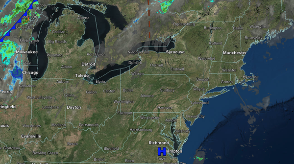
A cold front will approach
the region with increasing clouds, followed by scattered showers and thunderstorms. The thunderstorms will be capable of intense downpours, frequent lightning, and wind gusts over 40 mph. Winds will be from the southwest at 5 to 10 mph. High temperatures will range from the lower to mid-90s over the interior, mid-to-upper 90s along the I-95 corridor, and upper 80s to lower 90s along the coast. A heat index in the upper 90s to upper 100s can be
expected.
TOMORROW NIGHT
The cold front will slowly move through the region, accompanied by scattered showers and thunderstorms. Winds will veer to the west at 5 to 10 mph. Low temperatures will range from the upper 60s to the lower 70s over the interior and from the lower to mid-70s along the
coast.
SATURDAY
A cold front will stall to the south of the region with variable to overcast clouds and scattered showers. Winds will veer from the west to the northeast at 1 to 15 mph. High temperatures will range from the lower to mid-80s over the interior, mid-to-upper 80s in the New York City metropolitan area, and lower to
mid-90s in the Philadelphia metropolitan area and southern New Jersey.
SUNDAY
The stationary front will rebound as a warm front in the morning with scattered showers and thunderstorms. A cold front is expected to follow in the afternoon, accompanied by additional showers and thunderstorms. Winds will veer to the south at 5 to 10
mph. Low temperatures will range from the lower to mid-70s. High temperatures will range from the lower to mid-80s over the interior, mid-to-upper 80s along the I-95 corridor, and lower to mid-80s along the coast.
MONDAY
A stationary front to the south of the region with scattered clouds and widely scattered showers. Low
temperatures will range from the upper 60s to the lower 70s over the interior, and from the lower to mid-70s along the coast. High temperatures will range from the lower to mid-80s over the interior, upper 80s to lower 90s along the I-95 corridor, and mid-to-upper 80s along the coast.
TUESDAY
A trough will produce scattered clouds and
isolated showers. Low temperatures will range from the upper 60s to the lower 70s over the interior, and from the lower to mid-70s along the coast. High temperatures will range from the mid to upper 80s over the interior, lower to mid-90s along the I-95 corridor, upper 80s to lower 90s along the coast, and lower to mid-80s on Long Island.
WEDNESDAY
High pressure will produce scattered clouds. Low temperatures will range from the mid to upper 60s over the interior and the lower to mid-70s along the coast. High temperatures will range from the lower to mid-80s over the interior, upper 80s to lower 90s along the I-95 corridor, and mid-to-upper 80s along the coast.
THURSDAY
A cold front will produce showers and thunderstorms. Low temperatures will range from the mid- to upper 60s over the interior to the upper 60s to lower 70s along the coast. High temperatures will range from the lower to mid-70s over the interior and mid to upper 70s along the coast.