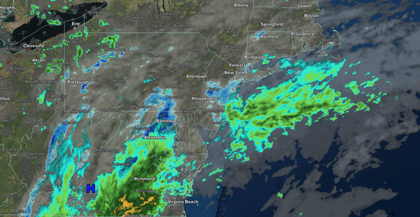
A persistent onshore flow will keep variable clouds, isolated showers, and minor coastal flooding a threat through early next week.
TODAY
A trough will produce variable clouds and isolated showers. Winds will be from the
east at 5 to 10 mph. High temperatures will range from the mid to upper 70s over the interior and upper 70s to the lower 80s along the coast.
TONIGHT
A trough will produce variable clouds and isolated showers. Winds will be from the east at 5 to 10 mph. Low temperatures will range from the upper 50s to the lower 60s over
the interior and mid to upper 60s along the coast.
TOMORROW
A trough will produce scattered clouds and isolated showers. Winds will be from the east at 5 to 10 mph. High temperatures will range from the upper 70s to the lower 80s.
TOMORROW
NIGHT
A trough will produce variable clouds and isolated showers. Winds will be from the east at 5 to 10 mph. Low temperatures will range from the mid to upper 50s over the interior, lower to mid-60s in the suburbs, and mid-60s in urban areas.
FRIDAY
A
trough will produce scattered clouds with isolated showers. Winds will be from the east at 5 to 10 mph. High temperatures will range from the mid to upper 70s on Long Island and upper 70s to lower 80s elsewhere.
SATURDAY
A trough will produce scattered clouds and isolated showers. Winds will be from the northeast at 1 to 5
mph. Low temperatures will range from the mid to upper 50s over the interior and upper 50s to lower 60s along the coast. High temperatures will range from the lower to mid-80s over the interior, upper 80s to lower 90s on the I-95 corridor, and lower to mid-80s along the coast.
SUNDAY
A trough will produce scattered clouds and
isolated showers. Low temperatures will range from the lower to mid-60s. High temperatures will range from the upper 80s to lower 90s over the interior, lower to mid-90s on the I-95 corridor, and upper 80s to lower 90s along the coast. A heat index in the mid-90s to lower 100s will be a threat.
MONDAY
A trough will produce
scattered clouds and isolated showers. Low temperatures will range from the mid to upper 60s over the interior, upper 60s to lower 70s in the suburbs, and lower to mid-70s in urban areas. High temperatures will range from the lower to mid-90s. A heat index in the upper-90s to lower 100s will be a threat.
TUESDAY
A trough
will produce scattered clouds and isolated showers. Low temperatures will range from the mid to upper 60s over the interior, lower to mid-70s on the I-95 corridor, and upper 60s to lower 70s along the coast. High temperatures will range from the lower to mid-90s. A heat index in the mid-90s to lower 100s will be a threat.
WEDNESDAY
A cold front will produce scattered showers and isolated thunderstorms. Low temperatures will range from the lower to mid-70s. High temperatures will range from the mid to upper 80s on Long Island, upper 80s to lower 90s along the coast, lower to mid-90s on the I-95 corridor, and upper 80s to lower 90s over the interior. A heat index in the mid-90s to lower 100s will be a threat.