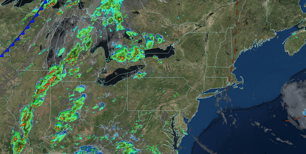
Tranquil but hotter weather conditions are expected through tomorrow morning. A trough will produce a few thunderstorms tomorrow. A strong cold front is expected by Thursday with additional showers and thunderstorms.
TONIGHT
High pressure will produce scattered clouds. Winds will be from the southwest at 1 to 5 mph. Low temperatures will range from the upper 60s to lower 70s over the interior and lower to mid-70s along the coast.
TOMORROW
A trough will produce scattered clouds and widely scattered
thunderstorms. Winds will be from the southwest at 5 to 10 mph. High temperatures will range from the mid to upper 80s over the interior, lower to mid-90s on the I-95 corridor, upper 80s to lower 90s along the coast, and mid to upper 80s on Long Island. A heat index in the mid-90s to lower 100s is expected.
TOMORROW NIGHT
A
trough will produce scattered clouds and isolated thunderstorms. Winds will be from the southwest at 5 to 10 mph. Low temperatures will range from the mid to upper 60s over the interior and lower to mid-70s along the coast.
THURSDAY
A cold front will produce scattered showers and thunderstorms. Winds will veer from the
southwest to the northwest at 5 to 10 mph. High temperatures will range from the upper 70s to lower 80s over the interior, mid to upper 80s on the I-95 corridor, and lower to mid-80s along the coast.
FRIDAY
High pressure will produce clearing skies. Winds will be from the north at 5 to 10 mph. Low temperatures will range
from the lower to mid-60s over the interior and upper 60s to lower 70s along the coast. High temperatures will range from the lower to mid-80s over the interior, mid to upper 80s on the I-95 corridor, and lower to mid-80s along the coast.
SATURDAY
A trough will produce scattered clouds and isolated showers. Low temperatures will
range from the lower to mid-60s over the interior and mid to upper 60s along the coast. High temperatures will range from the mid to upper 80s over the interior, upper 80s to lower 90s on the I-95 corridor, and lower to mid-80s along the coast.
SUNDAY
High pressure will produce scattered clouds. Low temperatures will range from
the mid to upper 60s over the interior and upper 60s to lower 70s along the coast. High temperatures will range from the mid to upper 80s over the interior, lower to mid-90s on the I-95 corridor, and mid to upper 80s along the coast.
MONDAY
A cold front will produce scattered showers and thunderstorms. Low temperatures will range
from the mid to upper 60s over the interior and lower to mid-70s along the coast. High temperatures will range from the lower to mid-80s over the interior, upper 80s to lower 90s on the I-95 corridor, and mid to upper 80s along the coast.
TUESDAY
High pressure will produce scattered clouds. Low temperatures will range from the
mid to upper 50s over the interior, lower to mid-60s in the suburbs, and upper 60s to lower 70s in urban areas. High temperatures will range from the upper 70s to lower 80s over the interior, mid to upper 80s on the I-95 corridor, and lower to mid-80s along the coast.