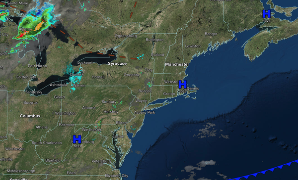
Tranquil conditions will continue for most, but a few pesky showers will remain a threat. A cold front will produce a few thunderstorms tomorrow night.
TODAY
A trough will produce scattered clouds and isolated
thunderstorms in the afternoon. Winds will be from the east at 1 to 5 mph. High temperatures will range from the lower to mid-80s over the interior, upper 80s to lower 90s on the I-95 corridor, and lower to mid-80s along the coast.
TONIGHT
A trough will produce scattered clouds. Winds will be from the southeast at 1 to 5
mph. Low temperatures will range from the mid to upper 60s over the interior and upper 60s to lower 70s along the coast.
TOMORROW
A cold front will approach the region with increasing clouds and isolated thunderstorms by the evening. Winds will be from the southwest at 5 to 10 mph. High temperatures will range from the
upper 80s to lower 90s over the interior, lower to mid-90s on the I-95 corridor, upper 80s to lower 90s along the coast, and lower to mid-80s on Long Island. A heat index in the mid-90s to lower 100s is expected on the I-95 corridor.
TOMORROW NIGHT
A cold front will move through the region with widely scattered showers. Winds
will veer to the north at 5 to 10 mph. Low temperatures will range from the mid to upper 60s over the interior, upper 60s to lower 70s in the suburbs, and lower to mid-70s in urban areas.
MONDAY
A cold front will move through the region with widely scattered showers in the morning, followed by scattered clouds in the afternoon.
Winds will veer to the northeast at 5 to 10 mph. High temperatures will range from the upper 70s to the lower 80s over the interior, lower to mid-80s in the New York City metropolitan areas, and mid to upper 80s in the Philadelphia metropolitan areas and southern New Jersey.
TUESDAY
A stationary front will produce variable clouds and
isolated showers. Winds will be from the east at 5 to 10 mph. Low temperatures will range from the lower to mid-60s over the interior and mid to upper 60s along the coast. High temperatures will range from the upper 60s to the lower 70s over the interior, mid to upper 70s in the New York City metropolitan areas, and upper 70s to lower 80s in the Philadelphia metropolitan areas and southern New Jersey.
WEDNESDAY
A stationary front will produce variable clouds and isolated showers. Low temperatures will range from the upper 50s to the lower 60s over the interior and mid to upper 60s along the coast. High temperatures will range from the mid to upper 70s over the interior, upper 70s to lower 80s on the I-95 corridor, and mid to upper 70s along the
coast.
THURSDAY
High pressure will produce scattered clouds. Low temperatures will range from the upper 50s to the lower 60s over the interior and the lower to mid-60s along the coast. High temperatures will range from the lower to mid-80s over the interior, upper 80s to lower 90s on the I-95 corridor, and lower to mid-80s along
the coast.
FRIDAY
High pressure will produce scattered clouds. Low temperatures will range from the upper 50s to the lower 60s over the interior and the lower to mid-60s along the coast. High temperatures will range from the lower to mid-80s over the interior, upper 80s to lower 90s on the I-95 corridor, and lower to mid-80s
along the coast.
SATURDAY
High pressure will produce scattered clouds. Low temperatures will range from the lower to mid-60s. High temperatures will range from the upper 70s to lower 80s over the interior, lower to mid-80s on the I-95 corridor, and upper 70s to lower 80s along the coast.