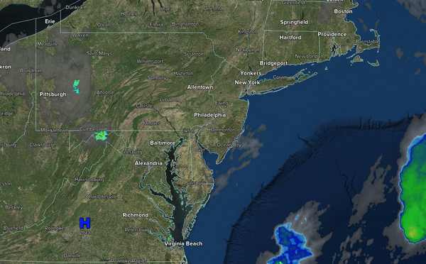
Excellent weather will continue through mid-week. A series of cold fronts to end the week will provide another cool air mass for next week.
TODAY
High pressure will produce clear skies to scattered clouds. Winds
will be from the east at 5 to 10 mph. High temperatures will range from the mid-70s over the interior, upper 70s to lower 80s on the I-95 corridor, and mid-70s along the coast.
TONIGHT
High pressure will produce scattered clouds. Winds will be from the east at 1 to 5 mph. Low temperatures will range from the lower to
mid-50s over the interior and mid to upper 50s along the coast.
TOMORROW
High pressure will produce scattered clouds. Winds will veer to the southeast at 1 to 5 mph. High temperatures will range from the mid-70s over the interior, upper 70s to lower 80s on the I-95 corridor, and mid-70s along the
coast.
TOMORROW NIGHT
High pressure will exit the region with scattered clouds. Winds will veer to the south at 1 to 5 mph. Low temperatures will range from the mid to upper 50s over the interior, upper 50s to lower 60s in the suburbs, and lower to mid-60s in urban areas.
THURSDAY
A trough will pass through the region with scattered clouds and isolated showers. Winds will be from the south at 5 to 15 mph. High temperatures will range from the mid to upper 70s over the interior, lower to mid-80s on the I-95 corridor, and mid to upper 70s along the coast.
FRIDAY
A trough will pass through the region with scattered clouds and isolated showers. Winds will be from the south at 5 to 15 mph. Low temperatures will range from the lower to mid-60s over the interior and mid to upper 60s along the coast. High temperatures will range from the mid-70s to lower 80s over the interior, mid to upper 80s on the I-95
corridor, and upper 70s to lower 80s along the coast.
SATURDAY
A cold front will produce scattered showers. Low temperatures will range from the lower to mid-60s over the interior, upper 60s to lower 70s in the suburbs, and lower 70s in urban areas. High temperatures will range from the lower to mid-80s over the interior, upper
80s to lower 90s on the I-95 corridor, and lower to mid-80s along the coast.
SUNDAY
High pressure will produce scattered clouds. Low temperatures will range from the lower to mid-50s over the interior, mid to upper 50s in the suburbs, and upper 50s to lower 60s in urban areas. High temperatures will range from the mid-60s to the
lower 70s over the interior, mid to upper 70s on the I-95 corridor, and mid-70s along the coast.
MONDAY
A trough will produce scattered clouds. Low temperatures will range from the upper 40s to lower 50s over the interior, lower to mid-50s in the suburbs, and mid to upper 50s in urban areas. High temperatures will range from the
upper 60s to lower 70s over the interior, mid to upper 70s on the I-95 corridor, and mid-70s along the coast.
TUESDAY
High pressure will produce scattered clouds. Low temperatures will range from the upper 40s to lower 50s over the interior, lower to mid-50s in the suburbs, and mid to upper 50s in urban areas. High temperatures
will range from the lower to mid-70s over the interior, upper 70s to lower 80s on the I-95 corridor, and mid to upper 70s along the coast.