The heavy rain band will continue to lift northward, clearing the region this evening. The threat of strong thunderstorms is increasing for this Saturday.
TONIGHT
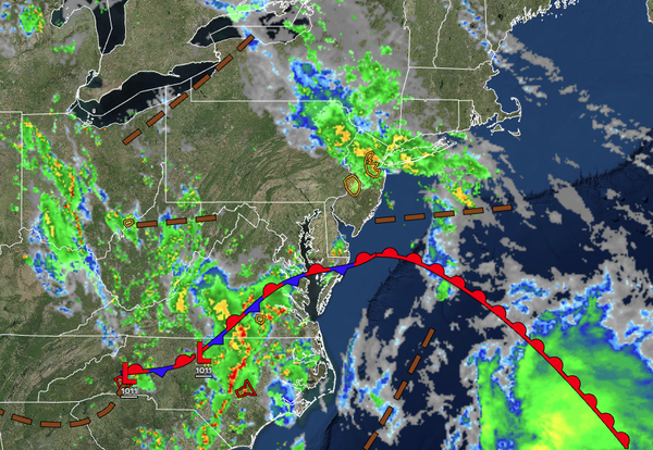
An area of low pressure and an occluded front will
approach the region with cloudy skies, drizzle, and widely scattered showers. Winds will be from the southeast at 5 to 15 mph. Low temperatures will range from the upper 50s to the lower 60s.
TOMORROW
An area of low pressure and an occluded front will lift through the region with scattered showers. Winds will be from the
southeast at 5 to 15 mph. High temperatures will range from the mid to upper 60s along the coast and upper 60s to lower 70s away from the coast.
TOMORROW NIGHT
Scattered clouds are expected. Winds will be from the southeast at 5 to 15 mph. Low temperatures will range from the mid to upper 50s over the interior and upper 50s
to lower 60s along the coast.
FRIDAY
A warm front will produce scattered showers and isolated thunderstorms. Winds will be from the southeast at 5 to 15 mph. High temperatures will range from the upper 60s to lower 70s on Long Island, mid to upper 70s along the coast, upper 70s to lower 80s in the Delaware River Valley, and lower
to mid-70s over the interior.
SATURDAY
A cold front will produce scattered showers and thunderstorms. The thunderstorms will be capable of heavy downpours, frequent lightning, hail, and wind gusts over 50 mph. Winds will be from the southwest at 5 to 15 mph. Low temperatures will range from the upper 50s to lower 60s over
the interior, upper 50s to lower 60s in the suburbs, and lower to mid-60s in urban areas. High temperatures will range from the upper 60s to the lower 70s on Long Island, lower to mid-70s along the coast, upper 70s to lower 80s in the Delaware River Valley, and mid to upper 70s over the interior.
SUNDAY
A trough will produce scattered
clouds and isolated showers. Low temperatures will range from the mid to upper 50s over the interior and lower to mid-60s along the coast. High temperatures will range from the mid to upper 60s over the interior and upper 60s to lower 70s along the coast.
MONDAY
A trough will produce scattered clouds and isolated showers.
Low temperatures will range from the mid to upper 40s over the interior and lower to mid-50s along the coast. High temperatures will range from the mid-40s to the lower 50s over the interior and mid to upper 50s along the coast.
TUESDAY
High pressure will produce scattered clouds. Low temperatures will range from the lower to
mid-40s over the interior and mid to upper 40s along the coast. High temperatures will range from the mid to upper 40s over the interior and lower to mid-50s along the coast.
WEDNESDAY
A trough will produce scattered clouds and isolated showers. Low temperatures will range from the lower to mid-40s over the interior and mid to
upper 40s along the coast. High temperatures will range from the mid to upper 50s over the interior and upper 50s to lower 60s along the coast.