Tranquil conditions return through Tuesday. Another rainstorm is expected for mid-week, followed by unsettled and cool conditions into the Memorial Day Weekend.
TODAY
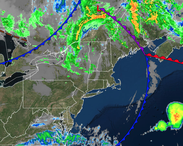
A trough will produce scattered clouds and isolated
showers. Winds will be from the west at 10 to 20 mph with gusts up to 35 mph. High temperatures will range from the mid to upper 60s over the interior and lower to mid-70s along the coast.
TONIGHT
A trough will produce scattered clouds and isolated showers. Winds will be from the west at 10 to 20 mph with gusts up to 35
mph. High temperatures will range from the mid to upper 60s over the interior and lower to mid-70s along the coast.
TOMORROW
High pressure will be in control with scattered clouds. Winds will be from the northwest at 5 to 15 mph. High temperatures will range from the mid to upper 60s over the interior and lower to mid-70s
along the coast.
TOMORROW NIGHT
High pressure will produce scattered clouds. Winds will be from the northwest at 5 to 15 mph. Low temperatures will range from the lower to mid-40s over the interior and upper 40s to lower 50s along the coast.
TUESDAY
High pressure will produce scattered clouds. Winds will be from the northwest at 5 to 15 mph. High temperatures will range from the mid-50s to the lower 60s over the interior, mid to upper 60s in the Delaware River Valley, and lower to mid-60s along the coast.
WEDNESDAY
An area of low pressure will approach the region with increasing clouds and periods of rain developing in the afternoon. Winds will veer to the east at 5 to 15 mph. Low temperatures will range from the mid to upper 40s over the interior and upper 40s to lower 50s along the coast. High temperatures will range from the lower to mid-50s over the
interior and mid to upper 50s along the coast.
THURSDAY
An area of low pressure will produce periods of rain, heavy at times. Low temperatures will range from the mid to upper 40s over the interior and lower to mid-50s along the coast. High temperatures will range from the lower to mid-60s over the interior and mid to upper 60s
along the coast.
FRIDAY
An area of low pressure will exit the region with variable clouds and scattered showers. Low temperatures will range from the mid to upper 40s over the interior and upper 40s to lower 50s along the coast. High temperatures will range from the mid to upper 50s over the interior and upper 50s to lower 60s
along the coast.
SATURDAY
A trough will produce scattered clouds and widely scattered showers. Low temperatures will range from the mid to upper 40s over the interior and upper 40s to lower 50s along the coast. High temperatures will range from the mid to upper 50s over the interior and lower to mid-60s along the
coast.
SUNDAY
A trough will produce scattered clouds and isolated showers. Low temperatures will range from the mid to upper 40s. High temperatures will range from the mid to upper 50s over the interior and lower to mid-60s along the coast.
MEMORIAL DAY
MONDAY
A trough will produce scattered clouds and isolated showers. Low temperatures will range from the mid to upper 40s over the interior and upper 40s to lower 50s along the coast. High temperatures will range from the mid-50s to the lower 60s over the interior, mid-60s to the lower 70s in the Delaware River Valley, and mid to upper 60s along the coast.