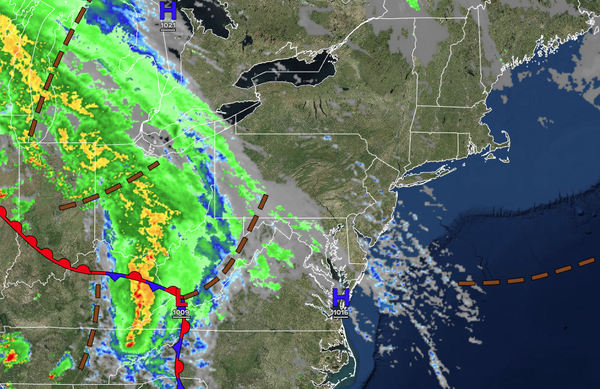
Clouds will increase as high pressure departs the region. A rainstorm will invade by tomorrow, giving way to unsettled but improving conditions for the Memorial Day Weekend.
TONIGHT
An area of low pressure will approach
the region with increasing clouds and scattered showers towards morning. Winds will veer to the east at 5 to 15 mph. Low temperatures will range from the mid to upper 40s over the interior and lower to mid-50s along the coast.
TOMORROW
An area of low pressure will produce periods of rain. Winds will be from the east at 5 to
15 mph. High temperatures will range from the lower to mid-50s.
TOMORROW NIGHT
An area of low pressure will produce periods of rain. Winds will be from the east at 5 to 15 mph. Low temperatures will range from the mid to upper 40s over the interior, upper 40s to lower 50s in the suburbs, and lower to mid-50s in urban
areas.
THURSDAY
An area of low pressure will produce periods of rain, heavy at times. Winds will back to the northeast at 5 to 15 mph. High temperatures will range from the lower to mid-50s over the interior, mid to upper 50s in the Delaware River Valley, and lower to mid-50s along the coast.
FRIDAY
A series of troughs will produce cloudy skies and scattered showers. Winds will back to the west at 5 to 15 mph. Low temperatures will range from the mid to upper 40s over the interior, mid to upper 40s in the suburbs, and upper 40s to lower 50s in urban areas.
SATURDAY
A series of troughs will produce scattered clouds and isolated showers. Low temperatures will range from the mid to upper 40s. High temperatures will range from the lower to mid-50s over the interior and upper 50s to lower 60s along the coast.
SUNDAY
A trough will produce scattered clouds and isolated showers. Low temperatures will range from the mid to upper 40s. High temperatures will range from the mid to upper 50s over the interior and lower to mid-60s along the coast.
MEMORIAL DAY
MONDAY
High pressure will produce scattered clouds. Low temperatures will range from the lower to mid-40s over the interior and mid to upper 40s along the coast. High temperatures will range from the lower to mid-60s over the interior, upper 60s to lower 70s in the Delaware River Valley, and mid to upper 60s along the coast.
TUESDAY
High pressure will produce scattered clouds. Low temperatures will range from the mid to upper 40s over the interior and lower to mid-50s along the coast. High temperatures will range from the mid to upper 60s over the interior, lower to mid-70s in the Delaware River Valley, and upper 60s to lower 70s along the coast.