A coastal storm and an approaching cold front will produce waves of rainfall today. Unsettled and cool conditions are expected through the Memorial Day Weekend.
TODAY
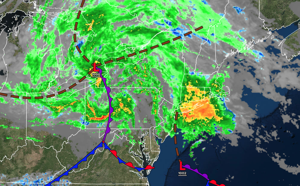
A coastal low-pressure system and an approaching cold
front will produce periods of rain. Winds will back from the northeast to the north at 5 to 15 mph. High temperatures will range from the upper 40s to the lower 50s over the interior, the lower to mid-50s along the coast, and the mid to upper 50s in the Delaware River Valley.
TONIGHT
The cold front will clear the region with
variable clouds and scattered showers. Winds will back to the northwest at 5 to 15 mph. Low temperatures will range from the mid to upper 40s over the interior, mid to upper 40s in the suburbs, and upper 40s to lower 50s in urban areas.
TOMORROW
A series of troughs will pass through the region with variable clouds and scattered
showers. Winds will back to the west at 5 to 15 mph. High temperatures will range from the mid to upper 50s over the interior, mid to upper 50s along the coast, and lower to mid-60s in the Delaware River Valley.
TOMORROW NIGHT
A series of troughs will pass through the region with variable clouds and widely scattered
showers. Winds will be from the west at 5 to 15 mph. Low temperatures will range from the lower to mid-40s over the interior and mid to upper 40s along the coast.
SATURDAY
A series of troughs will produce scattered clouds and isolated showers. Winds will be from the west at 5 to 15 mph. High temperatures will range
from the lower to mid-50s over the interior and upper 50s to lower 60s along the coast.
SUNDAY
A trough will produce scattered clouds and isolated showers. Winds will be from the northwest at 5 to 15 mph. Low temperatures will range from the mid to upper 40s. High temperatures will range from the upper 50s to the lower 60s
over the interior and the lower to mid-60s along the coast.
MEMORIAL DAY MONDAY
A trough will produce scattered clouds and isolated showers. Winds will be from the northwest at 5 to 15 mph. Low temperatures will range from the lower to mid-40s over the interior and upper 40s to lower 50s along the coast. High temperatures
will range from the lower to mid-60s over the interior and upper 60s to lower 70s along the coast.
TUESDAY
A trough will produce scattered clouds and isolated showers. Low temperatures will range from the mid to upper 40s over the interior and upper 40s to lower 50s along the coast. High temperatures will range from the upper 60s
to lower 70s over the interior, mid to upper 60s on Long Island, upper 60s to lower 70s along the coast, and lower to mid-70s in the Delaware River Valley.
WEDNESDAY
An area of low pressure will approach the region with scattered showers. Low temperatures will range from the lower to mid-50s over the interior and mid to upper 50s along
the coast. High temperatures will range from the mid to upper 60s over the interior, mid to upper 60s along the coast, and upper 60s to lower 70s in the Delaware River Valley.
THURSDAY
A stalling cold front will produce variable clouds and scattered showers. Low temperatures will range from the upper 40s to the lower 50s over the
interior and mid to upper 50s along the coast. High temperatures will range from the lower to mid-60s over the interior and mid to upper 60s along the coast.