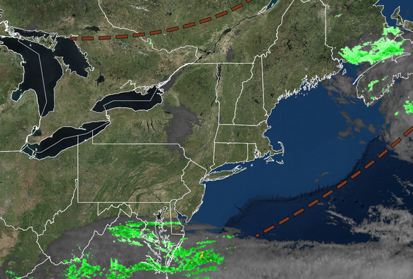
Tranquil conditions are expected for most of the region for Memorial Day. Rainfall returns by mid-week as the weather pattern shifts to warmer weather.
TODAY: MEMORIAL DAY
A trough will produce scattered clouds and isolated showers. Winds will be from the northwest at 5 to 15 mph. High temperatures will range from the lower to mid-60s over the interior, mid to upper 60s along the coast, and upper 60s to lower 70s in the Delaware River Valley.
TONIGHT
High
pressure will build into the region with clearing skies. Winds will become light and variable. Low temperatures will range from the mid to upper 40s over the interior and low to mid-50s along the coast.
TOMORROW
High pressure will produce scattered clouds. Winds will be light and variable. High temperatures will range
from the mid to upper 60s over the interior and lower to mid-70s along the coast.
TOMORROW NIGHT
High pressure will exit the region with increasing clouds. Winds will be from the southeast at 5 to 15 mph. Low temperatures will range from the upper 40s to the lower 50s over the interior and the lower to mid-50s along the
coast.
WEDNESDAY
A warm front will approach the region with increasing clouds and scattered showers in the afternoon. Winds will be from the southeast at 5 to 15 mph. High temperatures will range from the upper 60s to the lower 70s.
THURSDAY
A warm front will produce scattered showers. Winds will veer to the southwest at 5 to 15 mph. Low temperatures will range from the mid to upper 50s. High temperatures will range from the mid to upper 60s over the interior, upper 60s to lower 70s along the coast, and lower to mid-70s in the Delaware River Valley.
FRIDAY
A cold front will produce scattered showers and thunderstorms. Low temperatures will range from the upper 50s to the lower 60s over the interior and the lower to mid-60s along the coast. High temperatures will range from the upper 60s to the lower 70s along the coast, mid to upper 70s in the Delaware River Valley, and lower to mid-70s over the
interior.
SATURDAY
A cold front will produce scattered showers and thunderstorms. Low temperatures will range from the lower to mid-50s over the interior and mid to upper 50s along the coast. High temperatures will range from the lower to mid-60s over the interior, upper 60s to mid-70s in the Delaware River Valley, and lower to
mid-70s along the coast.
SUNDAY
A trough will produce scattered clouds and isolated showers. Low temperatures will range from the lower to mid-40s over the interior, upper 40s to lower 50s in the suburbs, and lower to mid-50s in urban areas. High temperatures will range from the lower to mid-60s over the interior, upper 60s to
lower 70s in the Delaware River Valley, and mid to upper 60s along the coast.
MONDAY
High pressure will produce scattered clouds. Low temperatures will range from the lower to mid-50s. High temperatures will range from the upper 60s to lower 70s on Long Island, mid to upper 70s along the coast, upper 70s to lower 80s in the
Delaware River Valley, and mid to upper 70s over the interior.