Cloudy skies and lingering showers are expected between the departing storm and the next one tomorrow night. Slowly improving conditions are expected through the weekend.
TODAY
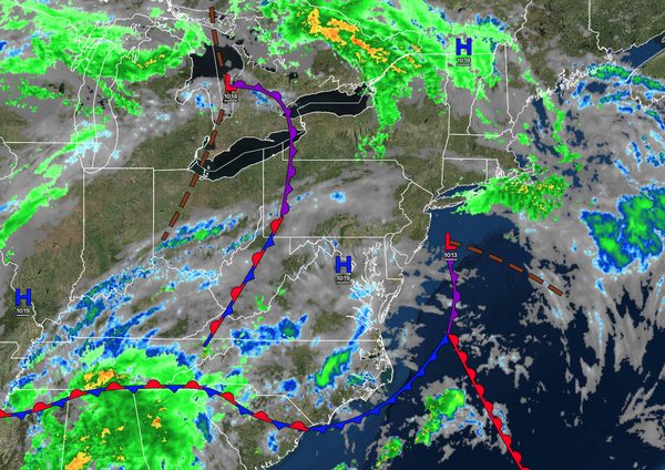
A stationary front will produce broken
clouds and isolated showers. Winds will be from the southwest at 5 to 15 mph. High temperatures will range from the mid to upper 60s over the interior, upper 60s to lower 70s along the coast, and the lower to mid-70s in the Delaware River Valley.
TONIGHT
A stationary front will produce broken clouds and isolated showers.
Winds will be from the southwest at 5 to 15 mph. Low temperatures will range from the mid to upper 50s over the interior and upper 50s to lower 60s along the coast.
TOMORROW
An area of low pressure will approach the region with scattered showers increasing by the afternoon. Winds will be from the northwest at 1 to 5 mph.
High temperatures will range from the upper 60s to the lower 70s along the coast, the lower to mid-70s over the interior, and the mid to upper 70s in the Delaware River Valley.
TOMORROW NIGHT
The area of low pressure will pass through the coastal waters with periods of rain, heavy at times. Winds will back to the west at 5 to 15
mph. Low temperatures will range from the lower to mid-50s over the interior and mid to upper 50s along the coast.
SATURDAY
The area of low pressure will exit the region with periods of rain in the morning, followed by cloudy skies and scattered showers. Winds will be from the west at 5 to 15 mph. High temperatures will
range from the lower to mid-60s over the interior and upper 60s to lower 70s along the coast.
SUNDAY
A trough will produce scattered clouds and isolated showers. Winds will be from the west at 5 to 15 mph. Low temperatures will range from the mid to upper 40s over the interior and lower to mid-50s along the coast. High
temperatures will range from the mid to upper 50s over the interior and lower to mid-60s along the coast.
MONDAY
High pressure will produce scattered clouds. Low temperatures will range from the lower to mid-40s over the interior and mid to upper 40s along the coast. High temperatures will range from the mid to upper
60s.
TUESDAY
High pressure will produce scattered clouds. Low temperatures will range from the mid to upper 40s over the interior and lower to mid-50s along the coast. High temperatures will range from the lower to mid-70s along the coast and mid to upper 70s away from the coast.
WEDNESDAY
High pressure will produce scattered clouds. Low temperatures will range from the mid to upper 50s. High temperatures will range from the lower to mid-70s along the coast, mid to upper 70s over the interior, and upper 70s to lower 80s in the Delaware River Valley.
THURSDAY
A warm front will produce scattered showers. Low temperatures will range from the mid to upper 50s. High temperatures will range from the upper 60s to lower 70s on Long Island, mid to upper 70s along the coast, lower to mid-80s in the Delaware River Valley, and upper 70s to lower 80s over the interior.