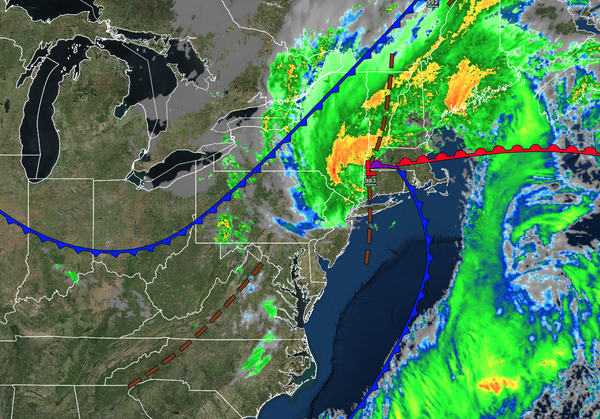
Showers will linger today as the rainstorm departs the region. A pattern change follows with seasonable summer conditions returning.
TODAY
The area of low pressure will exit the region with variable clouds and scattered
showers. Winds will be from the west at 5 to 15 mph. High temperatures will range from the lower to mid-60s over the interior and upper 60s to lower 70s along the coast.
TONIGHT
A trough will produce scattered clouds and isolated showers. Winds will be from the west at 5 to 15 mph. Low temperatures will range from the
mid to upper 40s over the interior and upper 40s to lower 50s along the coast.
TOMORROW
A trough will produce scattered clouds and isolated showers. Winds will be from the west at 5 to 15 mph. High temperatures will range from the mid to upper 50s over the interior and lower to mid-60s along the
coast.
TOMORROW NIGHT
Skies will clear as high pressure builds into the region. Winds will be from the west at 5 to 15 mph. Low temperatures will range from the mid to upper 40s over the interior and upper 40s to lower 50s along the coast.
MONDAY
High pressure will produce scattered clouds. Winds will be from the west at 5 to 15 mph. High temperatures will range from the mid to upper 60s over the interior, mid to upper 60s on Long Island, upper 60s to lower 70s along the coast, and lower to mid-70s in the Delaware River Valley.
TUESDAY
High pressure will produce scattered clouds. Winds will be from the southwest at 1 to 5 mph. Low temperatures will range from the upper 40s to the lower 50s over the interior and the lower to mid-50s along the coast. High temperatures will range from the lower to mid-70s on Long Island, upper 70s to lower 80s along the coast, lower to mid-80s in
the Delaware River Valley, and mid to upper 70s over the interior.
WEDNESDAY
High pressure will produce scattered clouds. Low temperatures will range from the mid to upper 50s. High temperatures will range from the mid to upper 70s on Long Island, upper 70s to lower 80s along the coast, and lower to mid-80s
elsewhere.
THURSDAY
A warm front will produce scattered showers. Low temperatures will range from the lower to mid-60s. High temperatures will range from the upper 70s to the lower 80s over the interior, upper 70s to the lower 80s on Long Island, lower to mid-80s along the coast, and mid-80s to lower 90s in the Delaware River
Valley.
FRIDAY
A trough will produce scattered clouds and isolated thunderstorms. Low temperatures will range from the lower to mid-60s over the interior, mid to upper 60s in the suburbs, and upper 60s to lower 70s in urban areas. High temperatures will range from the upper 70s to lower 80s on Long Island, lower to mid-80s along
the coast, upper 80s to lower 90s in the Delaware River Valley, and lower to mid-80s over the interior.
SATURDAY
A cold front will produce scattered showers and thunderstorms. Low temperatures will range from the lower to mid-60s over the interior, mid to upper 60s in the suburbs, and upper 60s to lower 70s in urban areas. High
temperatures will range from the upper 60s to mid-70s over the interior, upper 70s to lower 80s in the Delaware River Valley, and mid to upper 70s along the coast.