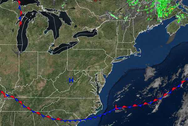
High pressure will provide plenty of sunshine through the start of the week, but Canadian wildfires are introducing some haze as well. A slow-moving cold front will bring the threat of thunderstorms to the region by the end of the week.
TONIGHT
High pressure will produce scattered clouds. Winds will be from the southwest at 5 to 15 mph. Low temperatures will range from the mid to upper 40s over the interior, upper 40s to lower 50s in the suburbs, and lower to mid-50s in urban areas.
TOMORROW
High pressure will produce scattered
clouds with some haze. Winds will be from the southwest at 1 to 5 mph. High temperatures will range from the mid to upper 70s over the interior, mid to upper 70s along the coast, and upper 70s to lower 80s in the Delaware River Valley.
TOMORROW NIGHT
High pressure will produce scattered clouds. Winds will be from the
southwest at 1 to 5 mph. Low temperatures will range from the mid to upper 50s.
WEDNESDAY
High pressure will produce scattered clouds with haze. Winds will be from the southwest at 5 to 10 mph. High temperatures will range from the lower to mid-70s on Long Island, upper 70s to lower 80s along the coast, lower to mid-80s in
the Delaware River Valley, and upper 70s to lower 80s over the interior.
THURSDAY
A stationary front will produce scattered clouds with isolated evening thunderstorms. Winds will be from the southwest at 5 to 10 mph. Low temperatures will range from the lower to mid-60s. High temperatures will range from the lower to
mid-80s over the interior, lower to mid-80s along the coast, and upper 80s to lower 90s in the Delaware River Valley.
FRIDAY
A trough will produce scattered clouds and isolated thunderstorms. Low temperatures will range from the lower to mid-60s over the interior and mid to upper 60s along the coast. High temperatures will range
from the upper 70s to lower 80s on Long Island, lower to mid-80s along the coast, upper 80s to lower 90s in the Delaware River Valley, and lower to mid-80s over the interior.
SATURDAY
A cold front will produce scattered showers and thunderstorms. Low temperatures will range from the mid to upper 60s over the interior, mid to upper 60s
in the suburbs, and upper 60s to lower 70s in the Delaware River Valley. High temperatures will range from the lower to mid-70s on Long Island, upper 70s to lower 800s along the coast, mid-70s to lower 80s over the interior, and mid to upper 80s in the Delaware River Valley.
SUNDAY
High pressure will produce scattered clouds. Low
temperatures will range from the mid to upper 50s over the interior and lower to mid-60s along the coast. High temperatures will range from the mid to upper 70s over the interior, upper 70s to lower 80s along the coast, and lower to mid-80s in the Delaware River Valley.
MONDAY
High pressure will produce scattered clouds. Low
temperatures will range from the mid to upper 50s over the interior and upper 50s to lower 60s along the coast. High temperatures will range from the mid to upper 70s over the interior, mid to upper 70s along the coast, and lower to mid-80s in the Delaware River Valley.