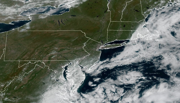
Excellent weather returns through this evening. A cool and dry weather pattern is established for the weekend!
TONIGHT
High pressure will build into the region with scattered clouds. Winds will be from the southwest
at 1 to 5 mph. Low temperatures will range from the mid to upper 50s over the interior and lower to mid-60s along the coast.
TOMORROW
A cold front will produce scattered clouds and isolated showers. Winds will veer to the northwest at 5 to 10 mph. High temperatures will range from the mid to upper 70s over the interior,
lower to mid-80s on the I-95 corridor, and mid to upper 70s along the coast.
TOMORROW NIGHT
High pressure will build into the region with clear skies. Winds will be from the north at 5 to 10 mph. Low temperatures will range from the upper 40s to lower 50s over the interior and mid to upper 50s along the
coast.
SATURDAY
High pressure will produce scattered clouds. Winds will be from the northeast at 5 to 10 mph. High temperatures will range from the lower to mid-70s.
SUNDAY
High pressure will produce scattered clouds. Winds will be from the east at 5 to 10 mph. Low temperatures will range from the upper 40s to lower 50s over the interior and mid to upper 50s along the coast. High temperatures will range from the upper 60s to lower 70s over the interior, lower to mid-70s on the I-95 corridor, upper 60s to lower 70s along the coast, and mid to upper 60s on Long Island.
MONDAY
A series of troughs will produce scattered clouds and isolated showers. Low temperatures will range from the lower to mid-50s over the interior and suburbs and mid to upper 50s in urban areas. High temperatures will range from the mid to upper 60s on Long Island and lower to mid-70s elsewhere.
TUESDAY
A cold front will produce scattered clouds and isolated showers. Low temperatures will range from the lower to mid-60s over the interior and mid to upper 60s along the coast. High temperatures will range from the upper 70s to lower 80s over the interior, lower to mid-80s on the I-95 corridor, upper 70s to lower 80s along the coast, and mid to upper 70s
on Long Island.
WEDNESDAY
A cold front will produce scattered clouds and isolated showers. Low temperatures will range from the lower to mid-60s over the interior and mid to upper 60s along the coast. High temperatures will range from the lower to mid-80s.
THURSDAY
A cold front will produce scattered clouds and isolated showers. Low temperatures will range from the lower to mid-60s over the interior and mid to upper 60s along the coast. High temperatures will range from the upper 70s to lower 80s over the interior, lower to mid-80s on the I-95 corridor, upper 70s to lower 80s along the coast, and lower to mid-70s
on Long Island.