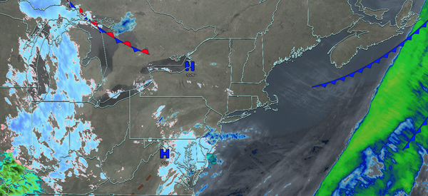
UPDATED 03/18/26 9:40 AM
Chilly conditions today will give way to warmer weather by this weekend. An unsettled weather pattern will continue through next week.
TODAY
High pressure will produce clearing skies. Winds will be light and variable. High temperatures will range from the mid to upper 30s.
TONIGHT
High pressure will exit the region with scattered clouds. Winds will be from the south at 1 to 5 mph. Low temperatures will range from the
mid to upper 20s.
TOMORROW
High pressure will produce scattered clouds. Winds will be from the south at 5 to 15 mph. High temperatures will range from the lower to mid-40s on Long Island and mid to upper 40s elsewhere.
TOMORROW
NIGHT
High pressure will produce scattered clouds. Winds will be from the southeast at 1 to 5 mph. Low temperatures will range from the mid to upper 20s over the interior and upper 20s to the lower 30s along the coast.
FRIDAY
A warm front will approach
the region with increasing clouds, followed by scattered showers by the evening. Winds will be from the west at 1 to 5 mph. High temperatures will range from the mid to upper 40s on Long Island, lower to mid-50s over the interior and New York City metropolitan area, and mid to upper 50s in the Philadelphia metropolitan area.
SATURDAY
A cold front will clear the region in the morning with scattered showers. Skies will clear in the afternoon and evening. Winds will be from the southwest at 1 to 5 mph. Low temperatures will range from the lower to mid-40s. High temperatures will range from the mid to upper 50s on Long Island, upper 50s to lower 60s over the interior and New York City metropolitan area, and mid to upper 60s in the Philadelphia metropolitan
area.
SUNDAY
A cold front will approach the region with increasing clouds. Showers will move into the region by the evening hours. Low temperatures will range from the upper 40s to the lower 50s. High temperatures will range from the lower to mid-60s over the interior, upper 60s to lower 70s in the New York City
metropolitan area, and lower to mid-70s in the Philadelphia metropolitan area.
MONDAY
A cold front will exit the region in the morning with scattered showers, followed by clearing skies in the afternoon and evening. Low temperatures will range from the lower to mid-20s over the interior, upper 20s to lower 30s in suburbs, and lower to
mid-30s in urban areas. High temperatures will range from the lower to mid-40s.
TUESDAY
A cold front will approach the region with increasing clouds. Scattered showers will move through the region in the evening. Low temperatures will range from the mid to upper 20s over the interior and upper 20s to lower 30s along the
coast. High temperatures will range from the lower to mid-40s over the interior, mid to upper 40s in the New York City metropolitan area, and upper 40s to lower 50s in the Philadelphia metropolitan area.
WEDNESDAY
High pressure will produce scattered clouds. Low temperatures will range from the upper 20s to the lower 30s over the
interior and mid to upper 30s along the coast. High temperatures will range from the lower to mid-40s over the interior, mid to upper 40s in the New York City metropolitan area, and lower to mid-50s in the Philadelphia metropolitan area.