UPDATED 02/07/26 9:50 AM
Light snow, strong winds, and dangerous wind chills will be in place throughout the Super Bowl weekend.
TODAY
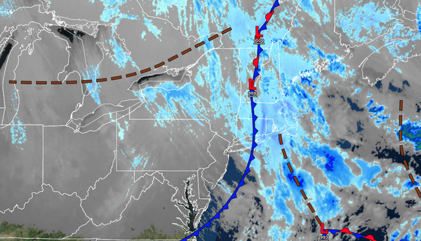
An
area of low pressure will exit the region with scattered snow showers. Winds will be from the northwest at 10 to 20 mph with gusts between 30 and 50 mph. High temperatures will range from the single digits to the lower 10s over the interior, from the lower to mid-10s in the Delaware River Valley, and from the upper 10s to the lower 20s along the coast.
TONIGHT
High pressure will build into the region with clearing skies. Winds will be from the northwest at 10 to 20 mph with gusts between 30 and 50 mph. Low temperatures will range from the single digits below zero to the single digits above zero.
TOMORROW
High pressure will produce scattered clouds.
Winds will be from the northwest at 10 to 20 mph with gusts between 30 to 50 mph. High temperatures will range from the single digits to the lower 10s.
TOMORROW NIGHT
High pressure will produce scattered clouds. Winds will be from the northwest at 5 to 15 mph. Low temperatures will range from the single digits below zero to the
single digits above zero.
MONDAY
High pressure will produce scattered clouds. Winds will be from the northwest at 5 to 15 mph. High temperatures will range from the mid to upper 10s over the interior and upper 10s to lower 20s along the coast.
TUESDAY
A warm front will produce scattered clouds and a few flurries. Winds will be from the southwest at 1 to 5 mph. Low temperatures will range from the single digits below zero to the single digits above zero over the interior, single digits to lower 10s in the Delaware River Valley, and lower to mid-10s along the coast. High temperatures will range from
the mid-20s to the lower 30s.
WEDNESDAY
A trough will produce scattered clouds and flurries. Low temperatures will range from the lower to mid-10s. High temperatures will range from the upper 20s to the lower 30s.
THURSDAY
High pressure will produce scattered clouds. Low temperatures will range from the mid to upper 10s over the interior and upper 10s to lower 20s along the coast. High temperatures will range from the upper 20s to the lower 30s.
FRIDAY
High pressure will produce scattered clouds. Low temperatures will range from the mid to upper 10s over the interior and upper 10s to lower 20s along the coast. High temperatures will range from the upper 20s to the lower 30s.
SATURDAY
High pressure will produce scattered clouds. Low
temperatures will range from the mid to upper 10s over the interior and lower to mid-20s along the coast. High temperatures will range from the mid to upper 20s over the interior and lower to mid-30s along the coast.