UPDATED 02/10/26 2:16 PM
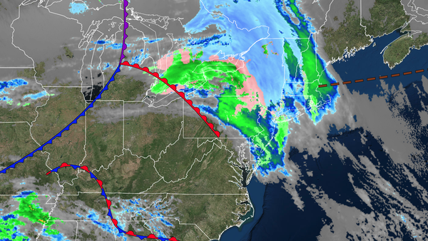
A clipper will bring a light wintry mix of precipitation through tomorrow morning with some slick spots. A gradual warm-up is expected through next week.
TONIGHT
A warm front will lift through the region, followed by a cold front producing scattered rain/snow showers. Winds will veer to the west at 5 to 15 mph. Low temperatures will range from the upper 20s to lower 30s over the interior and lower to mid-30s elsewhere.
TOMORROW
A cold front will exit the region with scattered snow, sleet, and rain showers in the morning. Skies will clear in the afternoon. Winds will veer to the northwest at 5 to 15 mph. High temperatures will range from the lower to mid-30s over the interior and mid to upper 30s along the coast.
TOMORROW NIGHT
High pressure will produce scattered clouds. Winds will be from the northwest at 5 to 15 mph. Low temperatures will range from the lower to mid-20s over the interior and mid to upper 20s along the coast.
THURSDAY
High pressure will produce scattered clouds. Winds will be from the northwest at 5 to 15 mph. High temperatures will range from the lower to mid-20s over the interior and upper 20s to lower 30s along the coast.
FRIDAY
High pressure will produce scattered clouds. Winds will be from the
northwest at 5 to 15 mph. Low temperatures will range from the lower to mid-10s. High temperatures will range from the upper 20s to the lower 30s.
SATURDAY
High pressure will produce scattered clouds. Low temperatures will range from the lower to mid-20s. High temperatures will range from the mid to upper
30s.
SUNDAY
An area of low pressure will pass to the south, and a cold front will approach from the west, producing scattered clouds and a few rain/snow showers in the evening. Low temperatures will range from the lower to mid-10s over the interior and upper 10s to lower 20s along the coast. High temperatures will range from the
mid to upper 30s over the interior, upper 30s to lower 40s in the New York City metropolitan area, and lower to mid-40s in the Philadelphia metropolitan area.
MONDAY
High pressure will build into the region with clearing skies. Low temperatures will range from the upper 20s to the lower 30s. High temperatures will range from the
mid to upper 30s over the interior, upper 30s to lower 40s in the New York City metropolitan area, and mid-40s in the Philadelphia metropolitan area.
TUESDAY
High pressure will build into the region with clearing skies. Low temperatures will range from the mid to upper 20s over the interior and upper 20s to the lower 30s along the
coast. High temperatures will range from the mid to upper 30s over the interior, upper 30s to lower 40s in the New York City metropolitan area, and mid-40s in the Philadelphia metropolitan area.