UPDATED 02/12/26 7:26 AM
Chilly but quiet weather conditions are expected into the weekend. A gradual warm-up with periods of rain is expected by the middle of next week.
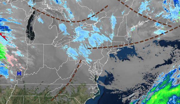
TODAY
A series of troughs will produce scattered clouds and a few flurries. Winds will be from the northwest at 5 to 15 mph. High temperatures will be in the mid-20s over the interior and upper 20s to lower 30s along the coast.
TONIGHT
High pressure will produce scattered clouds. Winds will be from the northwest at 5 to 15 mph. Low temperatures will range from the mid to upper 10s.
TOMORROW
High pressure will produce scattered clouds. Winds will be from the northwest at 5 to 15 mph. High temperatures will be in the
mid-20s over the interior and upper 20s to lower 30s along the coast.
TOMORROW NIGHT
High pressure will produce scattered clouds. Winds will be from the southwest at 5 to 15 mph. Low temperatures will range from the mid to upper 10s.
SATURDAY
High pressure will produce scattered clouds. Winds will be from the west at 5 to 15 mph. High temperatures will range from the mid to upper 30s over the interior and upper 30s to lower 40s along the coast.
SUNDAY
An area of low pressure and a cold front will approach the region with increasing clouds throughout the day. Scattered rain/snow showers will be a threat in the evening. Low temperatures will range from the mid to upper 10s over the interior and upper 10s to lower 20s along the coast. High temperatures will range from the upper 30s to lower 40s over the interior and New York City metropolitan area and lower to mid-40s along the
coast.
MONDAY
An area of low pressure will exit the region with scattered snow showers in the morning. Skies will clear in the afternoon. Low temperatures will range from the lower to mid-20s over the interior and upper 20s to lower 30s along the coast. High temperatures will range from the upper 30s to lower 40s over the
interior and New York City metropolitan area and lower to mid-40s along the coast.
TUESDAY
High pressure will build into the region with clearing skies. Low temperatures will range from the mid-20s to the lower 30s. High temperatures will range from the upper 30s to lower 40s over the interior, lower to mid-40s in the New York
City metropolitan area, and mid to upper 40s in the Philadelphia metropolitan area.
WEDNESDAY
A warm front will lift through the region with scattered showers. Low temperatures will range from the mid to upper 20s over the interior and upper 20s to lower 30s along the coast. High temperatures will range from the lower to mid-40s
over the interior and mid to upper 40s along the coast.
THURSDAY
A cold front will move through the region with periods of rain. Low temperatures will range from the upper 30s to lower 40s over the interior and lower to mid-40s along the coast. High temperatures will range from the lower to mid-50s over the interior, mid to upper
50s in the New York City metropolitan area, and lower to mid-60s in the Philadelphia metropolitan area.