UPDATED 02/16/26 9:12 AM
Skies will gradually clear today with a shift towards more seasonable temperatures to start the week. Rain and snow threats will develop towards the end of the week.
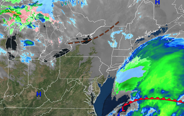
TODAY
High pressure will build into the region with clearing skies. Winds will be from the northeast at 5 to 10 mph. High temperatures will range from the mid-30s to the lower 40s.
TONIGHT
High pressure
will produce scattered clouds. Winds will be from the north at 1 to 5 mph. Low temperatures will range from the lower to mid-20s in areas of fresh snow and upper 20s to lower 30s elsewhere.
TOMORROW
A trough will produce scattered clouds. Winds will be from the southwest at 1 to 5 mph. High temperatures will range
from the upper 30s to lower 40s over the interior, upper 30s to mid-40s in the New York City metropolitan area, and upper 40s to lower 50s in the Philadelphia metropolitan area.
TOMORROW NIGHT
A warm front will approach the region with increasing clouds. Winds will be from the southwest at 5 mph. Low temperatures will range from
the lower to mid-30s.
WEDNESDAY
A warm front will lift through the region with scattered showers. Winds will be from the southwest at 5 to 15 mph. High temperatures will range from the lower to mid-40s over the interior, lower to mid-40s in the New York City metropolitan area, and upper 40s to mid-50s in the Philadelphia
metropolitan area.
THURSDAY
A trough will produce variable clouds and isolated showers. Winds will be from the northwest at 5 mph. Low temperatures will range from the lower to mid-30s in the suburbs and interior and mid to upper 30s in urban areas. High temperatures will range from the upper 30s to lower 40s over the
interior, upper 30s to mid-40s in the New York City metropolitan area, and upper 40s to mid-50s in the Philadelphia metropolitan area.
FRIDAY
An area of low pressure will produce a wintry mix over the interior and rain elsewhere. Low temperatures will range from the lower to mid-30s. High temperatures will range from the mid to
upper 30s over the interior, upper 30s to lower 40s in the New York City metropolitan area, and lower to mid-40s in the Philadelphia metropolitan area.
SATURDAY
An area of low pressure will depart with scattered rain and snow showers. Low temperatures will range from the lower to mid-30s. High temperatures will range from the
upper 30s over the interior, upper 30s to lower 40s in the New York City metropolitan area, and mid to upper 40s in the Philadelphia metropolitan area.
SUNDAY
High pressure will produce scattered clouds. Low temperatures will range from the mid to upper 10s over the interior and lower to mid-20s along the coast. High temperatures
will range from the mid to upper 20s over the interior, upper 20s to lower 30s in the New York City metropolitan area, and mid to upper 30s in the Philadelphia metropolitan area.
MONDAY
High pressure will produce scattered clouds. Low temperatures will range from the single digits to the lower 10s over the interior, the lower to
mid-10s in the suburbs, and the upper 10s to the lower 20s in urban areas. High temperatures will range from the lower to mid-30s over the interior and mid to upper 30s along the coast.