UPDATED 03/08/26 10:15 AM
Showers will linger through the morning, followed by cloudy skies this afternoon. Sunny and warm weather return to start the upcoming week!
TODAY
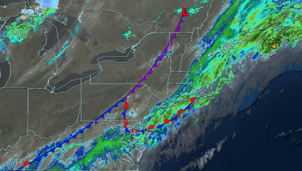
A cold front will clear the region in the morning with scattered showers. Skies will slowly clear in the afternoon. Winds will veer to the west at 5 to 15 mph. High temperatures will range from the upper 50s to lower 60s over the interior, lower to mid-60s in the New York City metropolitan area, and mid to upper 60s in the Philadelphia metropolitan area.
TONIGHT
High pressure will produce scattered clouds. Winds will be from the southwest at 5 to 15 mph. Low temperatures will range from the upper 30s to the lower 40s.
TOMORROW
High pressure will produce
scattered clouds. Winds will be from the southwest at 5 to 15 mph. High temperatures will range from the upper 50s to lower 60s on Long Island, lower to mid-60s over the interior and New York City metropolitan area, and mid to upper 60s in the Philadelphia metropolitan area.
TOMORROW NIGHT
High pressure will produce scattered
clouds. Winds will be from the southwest at 5 to 15 mph. Low temperatures will range from the lower to mid-40s.
TUESDAY
High pressure will produce scattered clouds. Winds will be from the southwest at 5 to 15 mph. High temperatures will range from the upper 50s to the lower 60s on Long Island and Connecticut, mid-60s
to the lower 70s in the New York City metropolitan area, and lower to mid-70s over the interior and Philadelphia metropolitan area.
WEDNESDAY
High pressure will produce scattered clouds. Winds will be from the southwest at 5 to 15 mph. Low temperatures will range from the upper 40s to mid-50s. High temperatures will range
from the mid-50s to mid-60s on Long Island and Connecticut, from the upper 60s to mid-70s in the New York City metropolitan area and interior, and from the upper 70s to lower 80s in the Philadelphia metropolitan area.
THURSDAY
A cold front will move through the region with scattered snow and rain showers. Low temperatures will range
from the lower to mid-30s over the interior and upper 30s to lower 40s along the coast. High temperatures will range from the upper 30s to lower 40s over the interior, mid to upper 40s in the New York City metropolitan area, and lower to mid-50s in the Philadelphia metropolitan area.
FRIDAY
High pressure will produce scattered
clouds. Low temperatures will range from the mid to upper 20s over the interior and upper 20s to the lower 30s along the coast. High temperatures will range from the mid to upper 40s over the interior, upper 40s to lower 50s in the New York City metropolitan area, and lower to mid-50s in the Philadelphia metropolitan area.
SATURDAY
High pressure will produce scattered clouds. Low temperatures will range from the lower to mid-30s over the interior, upper 30s to lower 40s in the suburbs, and lower to mid-40s in urban areas. High temperatures will range from the lower to mid-40s over the interior and upper 40s to lower 50s along the coast.
SUNDAY
An area of low pressure will produce a snow/rain mix over the interior and rain along the coast. Low temperatures will range from the mid to upper 20s over the interior and upper 20s to lower 30s along the coast. High temperatures will range from the upper 40s to lower 50s over the interior, lower to mid-50s in the New York City metropolitan area, and mid to upper 50s in the Philadelphia metropolitan area.