UPDATED 03/17/26 10:14 AM
Sunny but chilly conditions return for St. Patrick's Day and through the rest of the week. Unsettled conditions will linger into the last week of March as well.
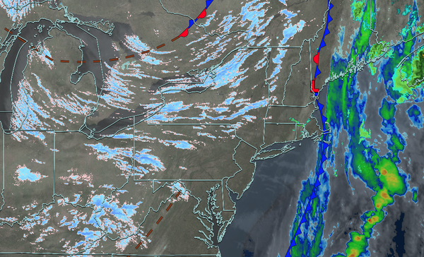
TODAY
A series of troughs will produce scattered clouds with a few flurries over the interior. Winds will be from the west at 10 to 20 mph with gusts over 30 mph. High temperatures will range from the upper 20s to lower 30s in higher elevations, mid to upper 30s over the rest of the interior, and upper 30s to the lower 40s along the
coast.
TONIGHT
High pressure will build into the region with clearing skies. Winds will be from the west at 5 to 15 mph. Low temperatures will range from the mid to upper 10s over the interior and lower to mid-20s along the coast.
TOMORROW
High pressure will produce scattered clouds. Winds will be light and variable. High temperatures will range from the mid to upper 30s.
TOMORROW NIGHT
High pressure will produce scattered
clouds. Winds will be from the south at 1 to 5 mph. Low temperatures will range from the mid to upper 20s.
THURSDAY
High pressure will produce scattered clouds. Winds will be from the south at 5 to 15 mph. High temperatures will range from the upper 30s to lower 40s over the interior, lower to mid-40s in the New York
City metropolitan area, and mid to upper 40s in the Philadelphia metropolitan area.
FRIDAY
A warm front will produce increasing clouds with scattered showers by the evening. Winds will be from the west at 1 to 5 mph. Low temperatures will range from the lower to mid-30s. High temperatures will range from the lower to
mid-40s over the interior, upper 40s to lower 50s in the New York City metropolitan area, and lower to mid-50s in the Philadelphia metropolitan area.
SATURDAY
A stationary front will produce variable clouds and scattered showers. Low temperatures will range from the mid to upper 30s. High temperatures will range from the upper
40s to lower 50s on Long Island, lower to mid-50s over the interior and New York City metropolitan area, and upper 50s to lower 60s in the Philadelphia metropolitan area.
SUNDAY
A cold front will approach the region with scattered showers. Low temperatures will range from the mid to upper 40s over the interior and upper 40s to mid-50s
along the coast. High temperatures will range from the upper 40s to mid-50s over the interior, upper 50s to mid-60s in the New York City metropolitan area, and upper 60s to the lower 70s in the Philadelphia metropolitan area.
MONDAY
A cold front will exit the region in the morning, followed by clearing skies in the afternoon and
evening. Low temperatures will range from the upper 10s to lower 20s over the interior and mid to upper 20s along the coast. High temperatures will range from the upper 20s to lower 30s over the interior, lower to mid-30s in the New York City metropolitan area, and mid to upper 30s in the Philadelphia metropolitan area.
TUESDAY
High pressure will produce clear skies. Low temperatures will range from the upper 10s to the lower 20s. High temperatures will range from the lower to mid-40s.