One storm moves through today while another approaches for this weekend. An active weather pattern remains in place.
TODAY
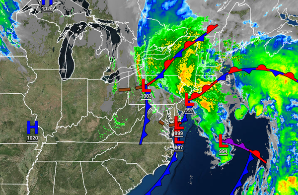
As an area of low pressure lifts through the coastal waters, moderate to heavy rain will lift north and stall over northeastern Pennsylvania, northern New Jersey, southeastern New York, and Connecticut. Scattered showers and drizzle will linger over southeastern Pennsylvania, central New Jersey, and southern New Jersey. Flash flooding and urban flooding will remain a threat. Winds will back from the northeast to the northwest at 10 to 20 mph with
gusts over 30 mph away from the coast and 15 to 30 mph with gusts up to 50 mph along the coast. Minor coastal flooding is a threat. Temperatures will rise into the mid to upper 50s over the interior and lower to mid-60s along the coast for highs.
TONIGHT
The low-pressure system will slowly move to the south of Long Island this evening through early tomorrow morning with waves of rainfall expected to drop back south through the entire region. Winds will be from the northwest at 10 to 20 mph with gusts over 30 mph away from the coast and 15 to 30 mph with gusts up to 50 mph along the coast and over Connecticut. Temperatures will fall into the upper 40s to lower 50s over the interior and mid to upper 50s
along the coast for lows.
TOMORROW
The low-pressure system will exit tomorrow morning with lingering showers followed by clearing skies in the afternoon and evening. Winds will be from the north-northwest at 10 to 20 mph. Temperatures will rise into the upper 50s to lower 60s over the interior, lower to mid-60s along the coast, and mid to upper 60s in the Delaware River Valley for highs.
THURSDAY
High pressure will produce clear skies to scattered cloud cover. Winds will be from the northeast at 5 to 15 mph. Temperatures will range from the upper 30s to mid-40s over the interior and upper 40s to lower 50s along the coast for lows and upper 50s to lower 60s for highs.
FRIDAY
An area of low pressure will approach with increasing clouds and isolated showers in the morning. Scattered showers to widespread showers are expected in the afternoon and evening. Temperatures will range from the mid to upper 40s over the interior and upper 40s to mid-50s along the coast for lows and upper 40s to lower 50s over the interior and mid to upper 50s along the coast for highs.
SATURDAY
An area of low pressure will produce moderate to heavy rainfall and windy conditions. Temperatures will range from the mid to upper 40s over the interior and upper 40s to lower 50s along the coast for lows and lower to mid-50s over the interior and upper 50s to mid-60s along the coast for highs.
HALLOWEEN SUNDAY
Clearing skies are expected with breezy conditions. Temperatures will range from the mid to upper 40s over the interior and upper 40s to lower 50s along the coast for lows and upper 50s to lower 60s for highs.
MONDAY AND TUESDAY
Scattered clouds are expected. Temperatures will range from the upper 30s to the lower 40s over the interior and mid to upper 40s along the coast for lows and lower to mid-50s over the interior and mid to upper 50s along the coast for highs. Temperatures will range from the lower to mid-40s over the interior and mid to upper 40s along the coast for lows and upper 50s to lower 60s over the interior and lower to mid-60s along the coast for
highs.