Break In Humid Conditions Is Over
Published: Sat, 07/25/20
I hope everyone enjoyed the brief break in the humidity yesterday evening, because our muggy, tropical Summer weather pattern has returned.
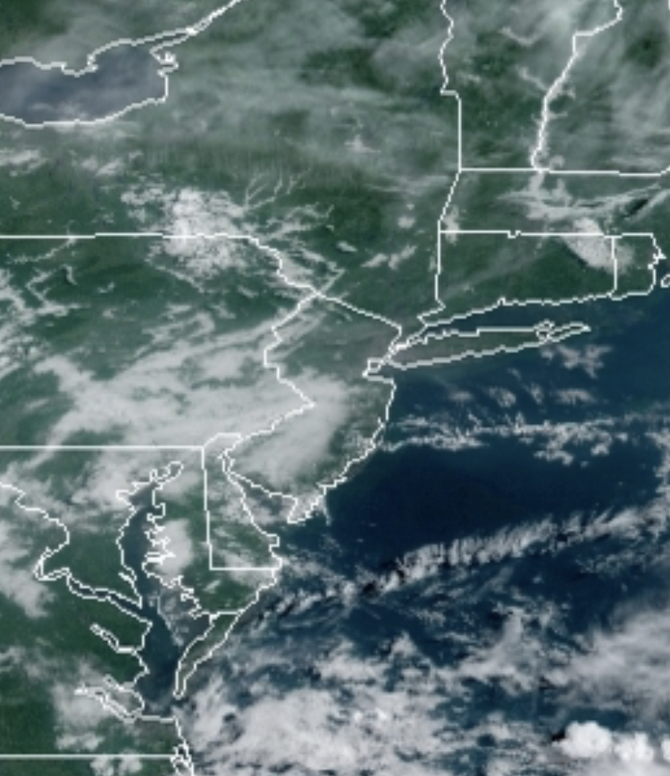
A cold front has stall over the coastal waters this morning with areas of fog and low clouds giving way to scattered cloud cover by this afternoon. An isolated shower is possible but unlikely. Winds will veer from the southeast to southwest today at 5 to 10 mph. Temperatures will rise into the lower to mid-80s along the coast and mid to upper 80s elsewhere for highs.
A trough of low-pressure will linger over the region tonight on through Monday with locally dense fog in the morning and scattered cloud cover in the afternoon. An isolated thunderstorm will be possible in the afternoon and evening hours. These thunderstorms will be capable of brief heavy downpours, frequent lightning, and wind gusts over 40 mph. Most locations will remain dry though. Winds will be from the southwest at 5 to 10 mph. Temperatures will range from the upper 60s to lower 70s for lows and upper 80s to lower 90s along the coast and mid-90s elsewhere. The combination of humid conditions with these high temperatures will produce a heat index in the mid-90s to mid-100s in the afternoon.
A cold front will approach on Tuesday with morning fog giving way to isolated to widely scattered showers and thunderstorms in the evening. Temperatures will range from the lower to mid-70s for lows and upper 80s to lower 90s on the coast and mid-90s elsewhere for highs. A heat index in the mid-90s to lower 100s is expected.
The cold front will move through on Tuesday night into Wednesday morning with waves of showers and thunderstorms. Skies will clear slowly Wednesday afternoon with a few lingering showers. Temperatures on Wednesday will range from the lower to mid-70s for lows and mid-80s to lower 90s for highs.
High pressure will be in control Thursday on through Friday with clear skies to scattered cloud cover. Some morning fog is possible. Temperatures will range from the upper 60s to lower 70s for lows and lower to mid-80s along the coast and upper 80s to lower 90s elsewhere for highs.
For details on your location, please visit the Local Seven Day Forecast!