Dangerous Heat Returns Once Again
Published: Sun, 07/26/20
Hazy, hot, and humid conditions continue, but a strong cold front is on the way by the middle of the week.
A weak trough will linger over the region today on through tomorrow with areas of fog and low clouds in the morning giving way to scattered cloud cover and hazy conditions. An isolated thunderstorm is possible in the afternoon and evening hours but unlikely for most locations. Thunderstorms will be capable of intense downpours, frequent lightning, hail, and wind gusts over 40 mph. Winds will be from the southwest at 5 to 10 mph. Temperatures will rise into the upper 80s to lower 90s along the coast and mid-90s elsewhere for highs. Temperatures tomorrow will range from the upper 60s to mid-70s for lows and upper 80s to lower 90s along the coast and mid-90s elsewhere for highs. The heat index will range from the mid-90s to mid-100s each afternoon.
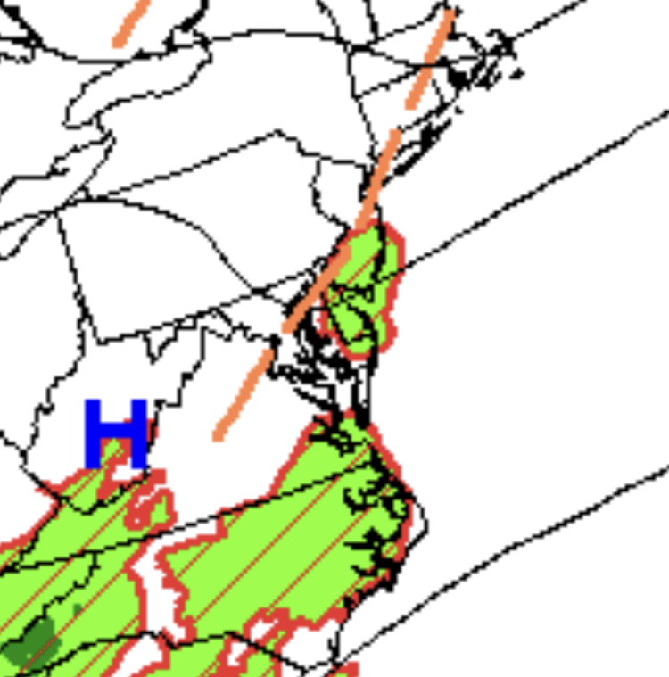
A strong cold front will approach on Tuesday with fog in the morning giving way to scattered clouds and isolated thunderstorms in the afternoon. Winds will be from the southwest at 5 to 15 mph. Temperatures will range from the lower to mid-70s for lows and upper 80s to lower 90s along the coast and mid-90s elsewhere for highs. The heat index will range from the mid-90s to lower 100s.
The cold front will move through the region Tuesday night on through Wednesday with scattered showers and thunderstorms capable of heavy downpours, frequent lightning, and wind gusts over 40 mph. Skies will slowly clear from north to south on Wednesday afternoon and evening. Temperatures on Wednesday will range from the lower to mid-70s for lows and mid-80s to lower 90s for highs.
High pressure will be in control Thursday on through Saturday with clear skies to scattered cloud cover. Lower humidity is expected with temperatures ranging from the mid-60s to lower 70s for lows and lower to mid-80s on the coast and upper 80s to lower 90s elsewhere for highs.
For details on your location, please visit the Local Seven Day Forecast!