Dangerous Heat Gives Way To Strong Thunderstorms Tonight
Published: Tue, 07/28/20
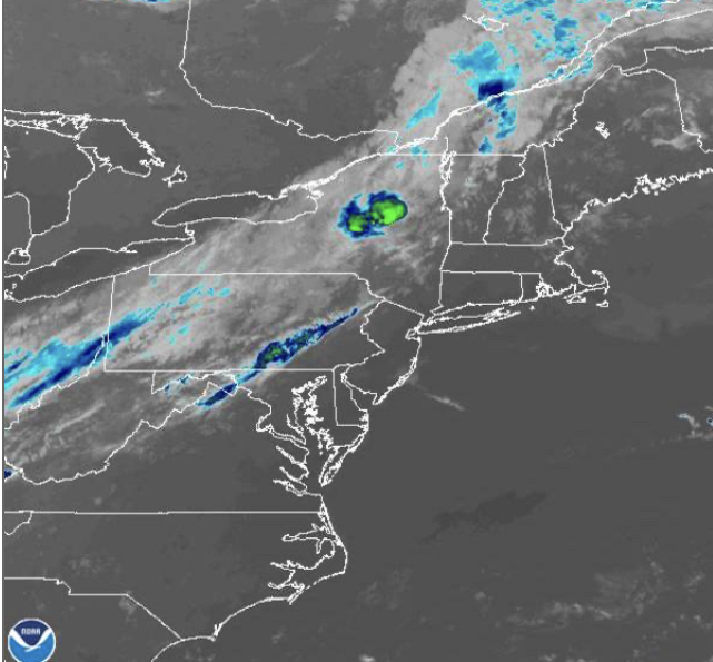
Hot and humid weather conditions will continue today but a strong cold front will bring showers and thunderstorms tonight.
A weak trough will linger over the region through this afternoon with scattered clouds and a few isolated thunderstorms. The thunderstorms will be capable of brief heavy downpours, frequent lightning, and wind gusts over 40 mph. Winds will be from the southwest at 5 to 10 mph. Temperatures will rise into the upper 80s to lower 90s along the coast and lower to mid-90s elsewhere for highs. A heat index around 100 degrees is expected.
A strong cold front will follow tonight with scattered showers and thunderstorms. The thunderstorms will be capable of heavy downpours, frequent lightning, hail, and wind gusts over 40 mph. Winds will veer to the northwest at 5 to 10 mph. Temperatures will fall into the upper 60s to lower 70s for lows.
The cold front will slowly sink through the region tomorrow with showers and thunderstorms in the morning followed by scattered to broken cloud cover in the afternoon. A few lingering showers will be capable in the afternoon. Winds will be from the northwest at 5 to 10 mph. Temperatures will rise into the mid to upper 80s along the coast and lower to mid-90s elsewhere for highs.
The cold front will stall over the coastal waters tomorrow night through Thursday with areas of morning fog followed by scattered cloud cover. Isolated thunderstorms are a threat in the afternoon. Winds will be from the west-southwest at 5 to 10 mph. Temperatures on Thursday will range from the upper 60s to lower 70s for lows and upper 80s to mid-90s for highs.
The stationary front will linger over the coastal waters on Friday with scattered clouds and isolated showers and thunderstorms. Temperatures on Friday will range from the upper 60s to mid-70s for lows and mid to upper 80s along the coast and upper 80s to lower 90s elsewhere for highs.
High pressure will be in control Saturday through Sunday with scattered cloud cover expected. Temperatures on Saturday will range from the mid to upper 60s for lows and mid to upper 80s along the coast and upper 80s to lower 90s elsewhere for highs. Temperatures on Sunday will range from the upper 60s to lower 70s for lows and mid to upper 80s for highs.
A warm front will lift into the region Sunday night through Monday with scattered to broken clouds and isolated to widely scattered showers and thunderstorms. Temperatures on Monday will range from the mid to upper 70s for lows and mid to upper 80s for highs.
For details on your location, please visit the Local Seven Day Forecast.