Another Day Of Dangerous Heat
Published: Mon, 07/27/20
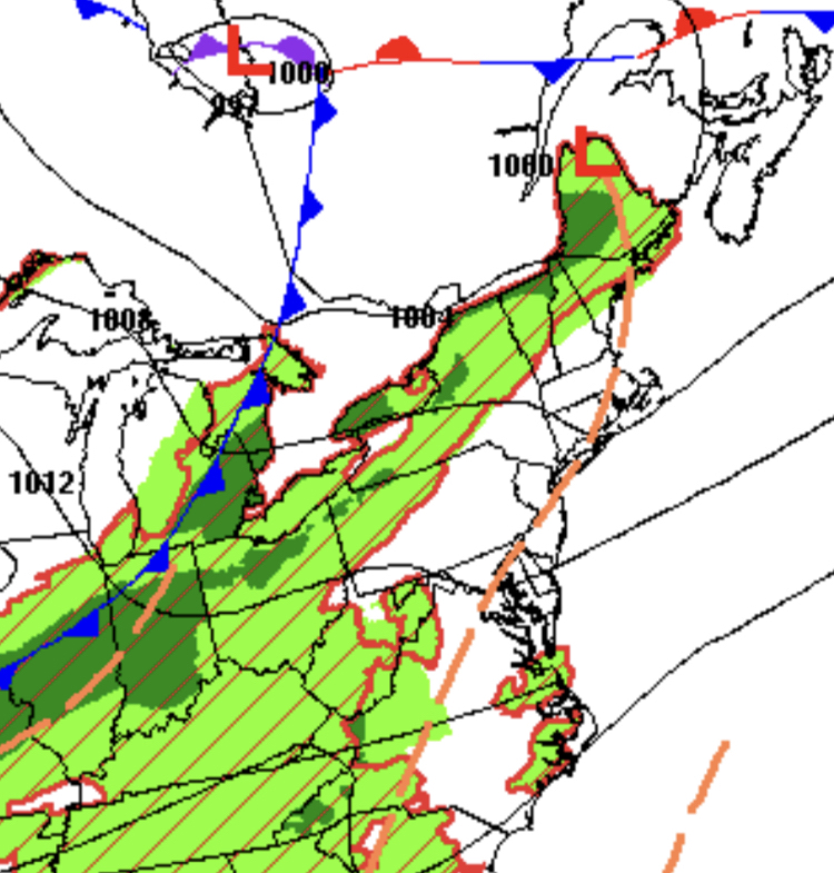
Another day of dangerous heat expected with a heat index rising to around 100 degrees throughout the region. Scattered thunderstorms a threat by tomorrow evening.
After some low clouds and fog lift this morning, scattered clouds are expected this afternoon. An isolated thunderstorms is possible, but unlikely. Winds will be from the southwest at 5 to 15 mph. Temperatures will rise into the upper 80s to lower 90s on the coast and lower to mid-90s elsewhere for highs. A heat index of around 100 degrees is expected.
A cold front will approach tomorrow with areas of fog in the morning giving way to scattered clouds and isolated to widely scattered showers and thunderstorms in the afternoon. Winds will be from the southwest at 5 to 10 mph. Temperatures will range from the lower to mid-70s for lows and upper 80s to lower 90s on the coast and lower to mid-90s elsewhere for highs. A heat index around 100 degrees is expected.
The cold front will move through the region tomorrow night on through Wednesday morning with scattered showers and thunderstorms. The cold front will stall over the coastal waters on Wednesday afternoon with scattered to broken cloud cover and isolated showers. Winds will veer from the southwest to northwest at 5 to 10 mph. Temperatures will range from the lower to mid-70s for lows and mid-80s to lower 90s for highs.
The cold front will linger over the coastal waters with waves of low pressure on Thursday which will produce scattered to broken cloud cover and isolated showers. Temperatures on Thursday will range from the upper 60s to lower 70s for lows and mid-80s to lower 90s on the coast and lower to mid-90s elsewhere for highs.
High pressure will be in control on Friday through Sunday with clear skies to scattered cloud cover. Temperatures will range from the mid-60s to lower 70s for lows and mid to upper 80s on the coast and upper 80s to lower 90s elsewhere for highs.
For details on your location, please visit the Local Seven Day Forecast!